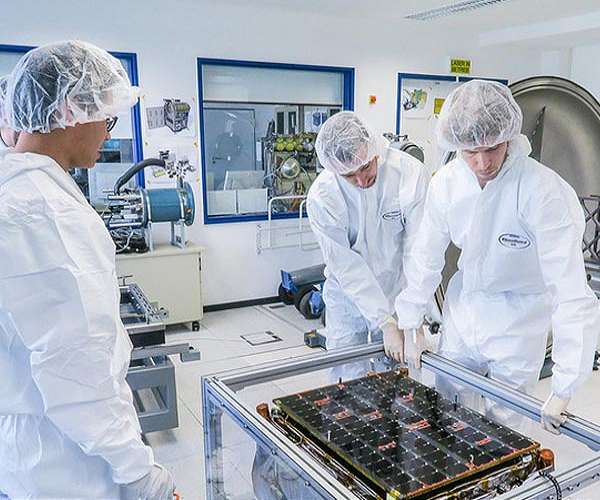
Proposed Tandem4EO constellation will combine radar and optical imaging for Europe (Image Credit: Space Daily)
ICEYE, the owner of the world’s largest synthetic-aperture radar (SAR) satellite constellation and SATLANTIS, a leading New Space optical imaging company, has announced preliminary plans to develop and manufacture a proposed Tandem for Earth Observation (Tandem4EO) constellation consisting of two radar and two VHR optical satellites. The announced program is planned to support the New Space strategy of several European Union nations, with a focus on Spain
Current ICEYE manufacturing and R and D facilities in Jumilla, Spain, and the headquarters of SATLANTIS in Bilbao, Spain, will be at the heart of the development, manufacturing and planned cooperation. Both companies will continue to increase their investments in their local operations, supporting Earth observation downstream applications in the European Union, and the growth of the local New Space ecosystem.
The Tandem4EO constellation is planned to be launched as a collection of four satellites in total, each capable of under 1-meter resolution imaging. The satellites are to be flown in a sun-synchronous orbit, with two ICEYE SAR imaging spacecraft flying in a bistatic formation, and two SATLANTIS very high-resolution optical imaging spacecraft trailing behind.
With closely coordinated operations, the constellation intends to serve solutions related to natural catastrophes, security, environmental monitoring at land and sea, infrastructure development, precise SAR Interferometry (InSAR) based change detection and more.
“Earth observation is ultimately about truly understanding what is happening in a selected location – with confidence,” says Rafal Modrzewski, CEO and Co-founder of ICEYE. “To achieve robust and fast analysis, combining the strengths of optical and SAR satellites in a single constellation yields incredibly useful insights for stakeholders in Spain and Europe.”
“Spain is in a remarkable position in Europe, with two leading New Space companies established in its territory opening new and unique opportunities in Earth observation,” says Juan Tomas Hernani, CEO of SATLANTIS. “This proposed initiative is the type of aerospace collaboration that would not have been feasible before. We’re in the golden age of New Space, and now is the right time to act on it.”
What makes the development of the Tandem4EO constellation unique, is that the combination of SAR and optical imaging with video capability will enable a new level of effectiveness for assessing in detail what is happening in a location of interest right now and over time. With this dual-instrument approach, data users will gain the benefits of versatility, reliability, and ease of use. In addition, the bi-static nature of the ICEYE SAR satellites allows for simultaneous radar acquisitions to produce InSAR data.
Related Links
ICEYE
SATLANTIS
Earth Observation News – Suppiliers, Technology and Application
|
|
Tweet |
|
|
|
We need your help. The SpaceDaily news network continues to grow but revenues have never been harder to maintain. With the rise of Ad Blockers, and Facebook – our traditional revenue sources via quality network advertising continues to decline. And unlike so many other news sites, we don’t have a paywall – with those annoying usernames and passwords. Our news coverage takes time and effort to publish 365 days a year. If you find our news sites informative and useful then please consider becoming a regular supporter or for now make a one off contribution. |
||
|
SpaceDaily Monthly Supporter $5+ Billed Monthly |
SpaceDaily Contributor $5 Billed Once credit card or paypal |
|
Foundation model improves accuracy for remote sensing image interpretation
Beijing, China (SPX) Sep 12, 2022
A new foundation model dubbed RingMo has been developed to improve accuracy for remote sensing image interpretation, according to the Aerospace Information Research Institute (AIR), Chinese Academy of Sciences (CAS).
Remote sensing images has been successfully applied in many fields, such as classification and change detection, and deep learning approaches have contributed to the rapid development of remote sensing (RS) image interpretation. The most widely used training paradigm is to utilize Ima … read more


