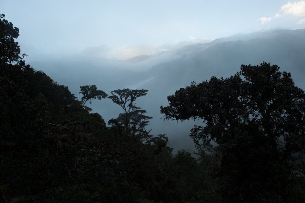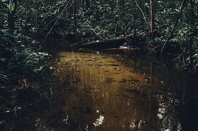
When in drought: Researchers map which parts of the Amazon are most vulnerable to climate change (Image Credit: Phys.org)

In the late 2000s, Scott Saleska noticed something strange going on in the Amazon rainforest. In 2005, a massive drought struck the region. Two years later, Saleska—a University of Arizona professor in the Department of Ecology and Evolutionary Biology—published surprising research that used satellite images to find that the drought resulted in more green growth in large swaths of the Amazon. On the other hand, field researchers saw plants turn brown and some die in response to the drought.
New research published in the journal Nature reveals what caused the scientific mismatch. Shuli Chen, a doctoral degree candidate in ecology and evolutionary biology who works with Saleska, is the lead author.
Chen and Saleska teamed up with Antonio Nobre, an Earth scientist at Brazil’s National Institute for Space Research, who was using satellites to detect how landscape topography and groundwater tables interact with forests.
The trio and their co-authors from Brazil, the U.S. and the United Kingdom used 20 years of data—from 2000 to 2020, which includes drought data from 2005, 2010 and a more widespread drought in 2015 and 2016—to tease out how drought impacts the most biodiverse forest on Earth, which spans an area twice the size of India, and is one of the world’s largest carbon sinks.
They found that different regions of the Amazon rainforest respond to drought differently because of differences in local forest environments and differences in the properties of trees themselves. This work goes beyond wide-scale climate factors and homes in on how local environments drive drought response, Chen said. The team created maps to illustrate their findings.
In the southern reaches of the Amazon rainforest, mostly over rock formations that geologists call the Brazilian Shield—with relatively fertile soil and forests with shorter trees—drought response was controlled by access to groundwater. Trees with access to shallow water tables “greened up” during drought, the researchers found, while trees over deeper water tables experienced more foliage browning and tree death. In contrast, the northern Amazon, dominated by what geologists call the Guiana Shield—home to tall trees with deep roots and less fertile soil—was more drought-resilient regardless of water table depth.
This new understanding of regional differences provides a framework for conservation decisions and improved predictions of forest responses to future climate changes, according to the researchers. It also warns that the Amazon’s most productive forests are also at the greatest risk.
“It’s like we brought a blurry image into focus,” Chen said. “When we talk about the Amazon being at risk, we talk about it as if it were all one thing. This research shows that the Amazon is a rich mosaic in which some parts are more vulnerable to change than others, and it explains why. This is key to understanding the system and ultimately protecting it.”

Building the mosaic
The research team used remote sensing satellite data—which relayed forest canopy health by measuring greenness and photosynthetic activity—to track how variations in non-climatic factors including water table depth, soil fertility and overall forest height affect forest resilience in the face of drought.
For trees with access to shallow water tables in the fertile soils of the southern Amazon, droughts result in more growth and healthier canopies for a few reasons.
First, during typical conditions, their roots are submerged in water, which limits access to oxygen. During drought, water recedes a bit, but doesn’t go away, exposing more root and allowing an increase in oxygen uptake. At the same time, trees get a photosynthetic boost from the additional sunlight.
Trees in the same region that grow over deeper water tables, on the other hand, have come to rely on rainwater. They are more vulnerable to drought.
The slow-growing trees in the northern Amazon—with their tall canopies, deep roots and relatively infertile soil—have adapted to harsh conditions, Chen said, making them hardy in the face of drought.
The Guiana Shield in the northern Amazon contains less fertile soil and deeper water tables than the Brazilian Shield in the south. These conditions led to slow-growing tall trees with deeper rooting systems able to access the water, making them hardier in the face of drought, Chen said.
“Our results are not just important for the Amazon, it’s important for the whole world, because the rainforest has a significant stock of our carbon. If that carbon is lost—because trees burn or are deforested, that adds to carbon dioxide in the atmosphere, which makes global warming even worse,” Saleska said.
Beyond the Amazon
The Amazon rainforest also plays a vitally important role in the Earth’s hydrologic cycle.
While the Amazon River is the biggest on Earth—discharging more water to the ocean than the next seven largest rivers combined—an “atmospheric river” of water vapor flows in the opposite direction through the air above Amazon rainforests, carrying up to twice as much water than its terrestrial twin.
Water evaporates from the Atlantic Ocean surface and wind carries it over the eastern Amazon rainforest. When that water falls as rain, it’s absorbed by the trees, which then move it up their stems, trunks and vines before emitting it back into the air as water vapor, like slow-motion geysers.
This is happening on a grand scale, with a hundred billion Amazonian trees feeding the atmospheric river that carries water from east to west across the rainforest. Trees in the western Amazon receive about 50% of their water from trees upwind, Saleska said.
“If you imagine either cutting down or losing those trees, because they’re vulnerable, and you’re getting more droughts, that doesn’t just affect those trees, that affects the trees downstream of the atmospheric river too,” said study co-author Nobre. “You basically threaten the integrity of the whole system.”
This water recycling capability also supplies water to agriculture in other parts of South America, beyond the Amazon, he said.
Saleska, who also serves on the science steering committee of the Science Panel for the Amazon, an international initiative by scientists dedicated to the Amazon, said that the new research will be invaluable for that work.
“If we care about preserving biodiversity, conserving valuable ecosystems, conserving valuable forests, knowing this kind of information is really critically helpful,” Saleska said.
More information:
Shuli Chen, Amazon forest biogeography predicts resilience and vulnerability to drought, Nature (2024). DOI: 10.1038/s41586-024-07568-w. www.nature.com/articles/s41586-024-07568-w
Journal information:
Nature
Provided by
University of Arizona
When in drought: Researchers map which parts of the Amazon are most vulnerable to climate change (2024, June 19)
retrieved 20 June 2024
from https://phys.org/news/2024-06-drought-amazon-vulnerable-climate.html
part may be reproduced without the written permission. The content is provided for information purposes only.


