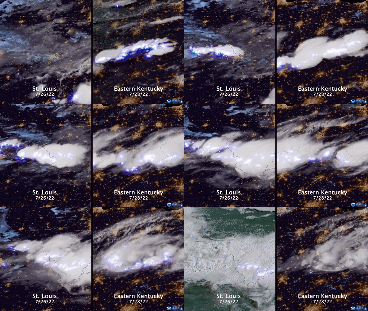
Satellite captures record-breaking storm that wreaked havoc on Kentucky (Image Credit: Space.com)
The weather forecasting satellite GOES 16 captured the devastating storm that dumped record-breaking amounts of rain on Kentucky on Thursday (July 28), triggering flash floods that killed at least 28 people.
The floods, which arrived while California battles extreme drought and wildfires on the west coast, are likely a consequence of progressing climate change, according to experts
Over ten inches of rain (25 centimeters) fell in the Appalachian region in the eastern U.S. over a 24-hour period, according to The Guardian (opens in new tab), marking what experts describe as a 1-in-1,000-year rain event.
Related: 10 devastating signs of climate change satellites can see from space
At least 28 people died in the flash floods, but rescue teams are still assessing the damage in submerged areas while weather forecasters warn more rain is coming, according to the Washington Post (opens in new tab).
The death toll is expected to rise due to the fact that some flood-stricken areas are hard to access, while fallen power lines create dangerous conditions elsewhere.
“With the level of water, we’re going to be finding bodies for weeks, many of them swept hundreds of yards, maybe a quarter-mile-plus from where they were lost,” Kentucky Governor Andy Beshear told NBC News.
Landslides and mudslides were reported in some areas and hundreds of residents are currently displaced, according to NBC News.
Authorities have declared a state of emergency in St. Louis and Kentucky.
Follow Tereza Pultarova on Twitter @TerezaPultarova. Follow us on Twitter @Spacedotcom and on Facebook.


