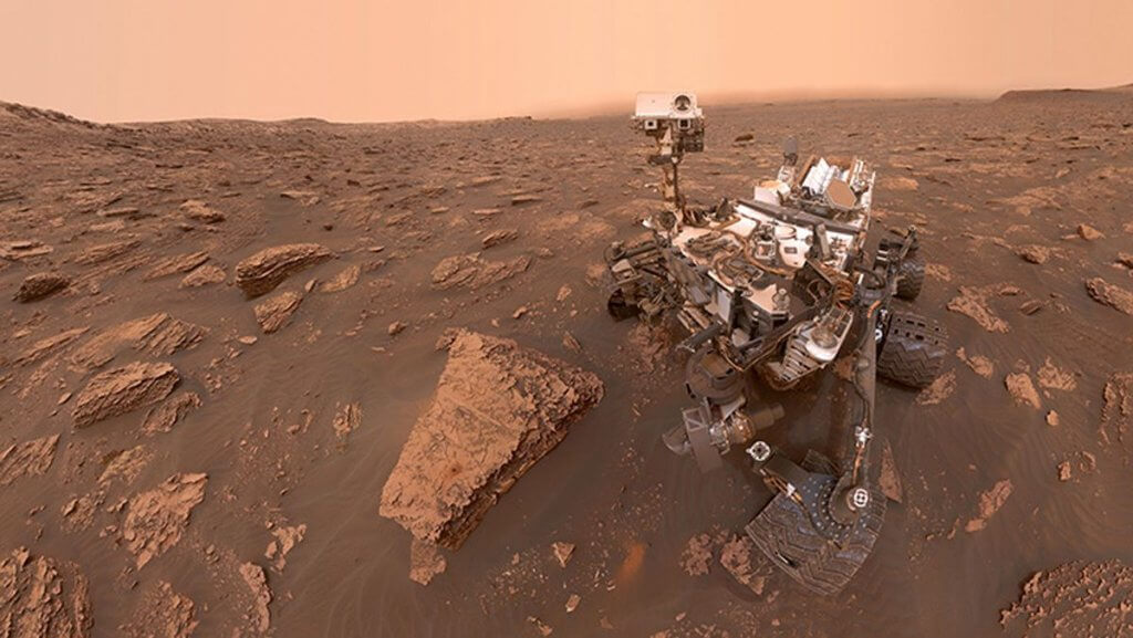
Curiosity rover discovers new evidence Mars once had ‘right conditions’ for life (Image Credit: Space.com)
Thanks to a combination of images from NASA’s Curiosity rover, scans of sedimentary rock beneath the Gulf of Mexico on Earth and computer simulations, geologists have identified the ancient, eroded remnants of rivers in a number of craters on Mars.
A team of researchers examining data collected by NASA’s Curiosity rover at Gale crater, a large impact basin on the Martian surface, discovered further evidence that rivers once flowed across the Red Planet, perhaps more widespread than was previously thought. “We’re finding evidence that Mars was likely a planet of rivers,” said geoscientist Benjamin Cardenas of Penn State University and lead author of the research in a statement.
On Earth, rivers are important for chemical, nutrient and sediment cycles that all have a positive impact on life. The discovery of further evidence for ancient rivers on Mars, therefore, could be an important development in the search for signs of life on the Red Planet.
“Our research indicates that Mars could have had far more rivers than previously believed, which certainly paints a more optimistic view of ancient life on Mars,” said Cardenas. “It offers a vision of Mars where most of the planet once had the right condition for life.”
Related: Good news for life: Mars rivers flowed for long stretches long ago
The specific landforms identified in Curiosity rover data, called bench-and-nose features, are found within numerous small craters, but until now had not been recognized as being deposits formed by running water.
Evidence for rivers on Mars has been known since the first spacecraft to orbit Mars, Mariner 9, imaged dried-up river channels and floodplains on the red planet’s surface. The various Mars rovers have also found mineralogical evidence in the form of sulfur-containing compounds such as jarosite, which form in water. The rovers and orbiters have also identified ridges formed by sediment in river channels billions of years old.
However, the identification of the bench-and-nose landforms suggests that rivers were even more widespread than thought. They are an alternating mix of steep slopes and shallow ‘benches’, and shortened ridges called ‘noses’. They form when sedimentary material laid down in channels by rivers are subsequently eroded in a preferential direction, possibly by prevailing winds.

Suspecting their watery origin, Cardenas and Kaitlyn Stacey, also of Penn State, trained their computer model on Curiosity’s images of bench-and-nose landforms inside craters and three-dimensional scans of layers of sedimentary bedrock on the sea floor beneath the Gulf of Mexico taken by oil companies 25 years ago.
The computer model was then able to simulate the erosion of sediment left by rivers to form the bench-and-nose landforms.
Curiosity had previously ascertained that the 154-km-wide (96 miles) Gale crater, which the rover is exploring, was filled with liquid water. The discovery that the bench-and-nose landforms were produced by rivers now gives some indication of the structure of that water-mass inside Gale crater.
The findings are published in Geophysical Research Letters.


