

Satellites

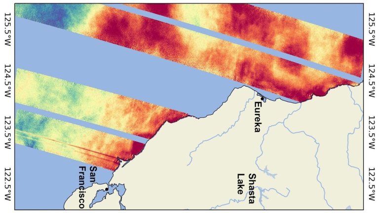
El Niño is coming. Or, rather, El Niño is already here. The Surface Water and Ocean Topography...
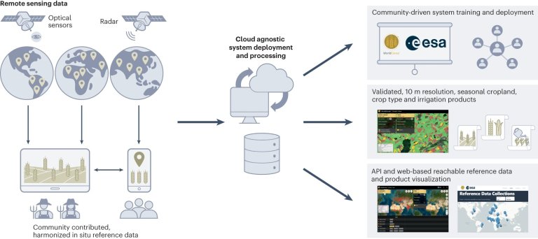
Overview of an operational WorldCereal system. Remote sensing data, combined with in situ reference data and crop...
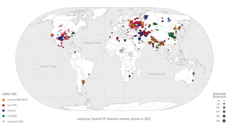
Global overview showing the location and magnitude of all 2,974 methane super-emitter plumes detected in 2021 using...
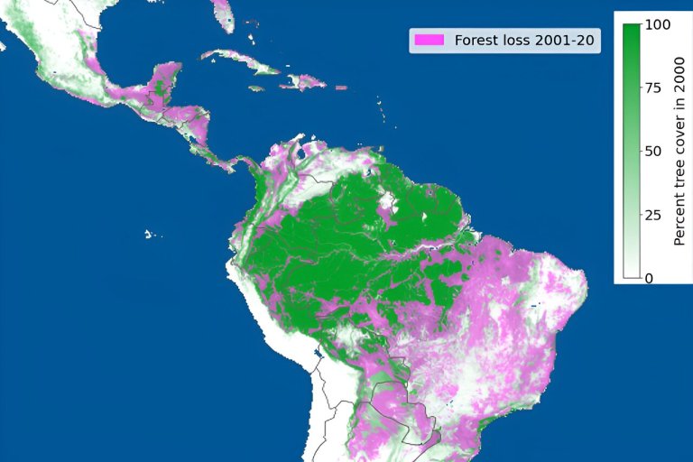
This figure shows forest loss between 2001 and 2020. The loss of forest is shown in pink....
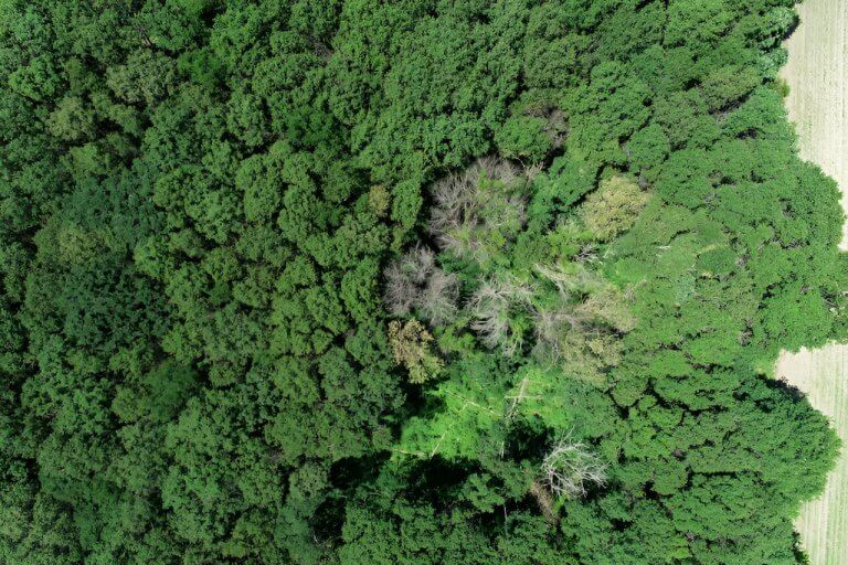
An aerial view of oak wilt impacting trees in Sherburne County. Credit: University of Minnesota. As our...

In a major advancement towards the media landscape of Qatar and the Middle East & North Africa...

Amazon Web Services (AWS) India Private Limited has signed a strategic Memorandum of Understanding (MOU) with the...

Terran Orbital Corporation (NYSE: LLAP), a leading manufacturer of satellite products primarily serving the aerospace and defense...
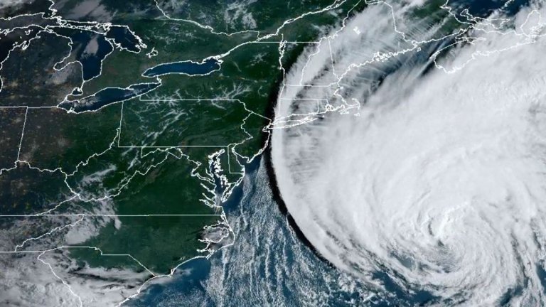
Satellites are watching Hurricane Lee swirl above the Atlantic Ocean as it makes its way toward the...


