

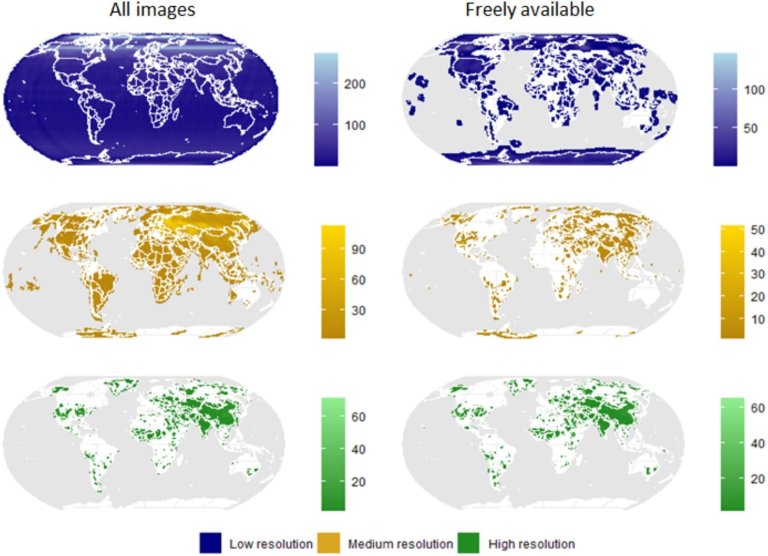
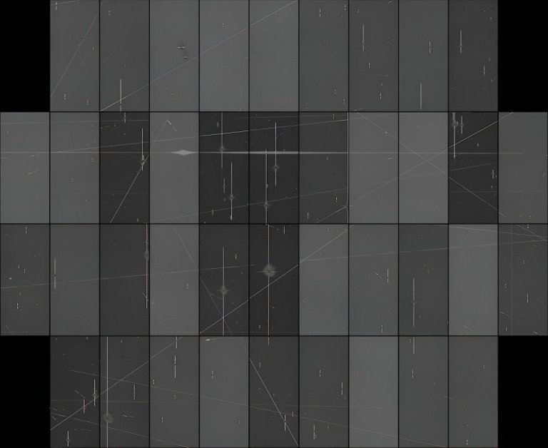
Spatial coverage and image density of spy-satellite images. The data have been classified in three spatial resolution...
Satellites
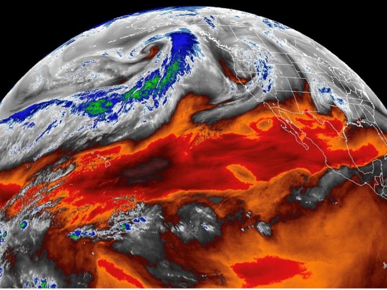
Atmospheric rivers, filaments of intense moisture transport in the atmosphere, can now be automatically detected in satellite...
Credit: contains modified Copernicus Sentinel data (2024), processed by ESA, CC BY-SA 3.0 IGO Before and after...
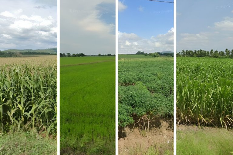
MIT engineers have developed a method to quickly and accurately label and map crop types using a...
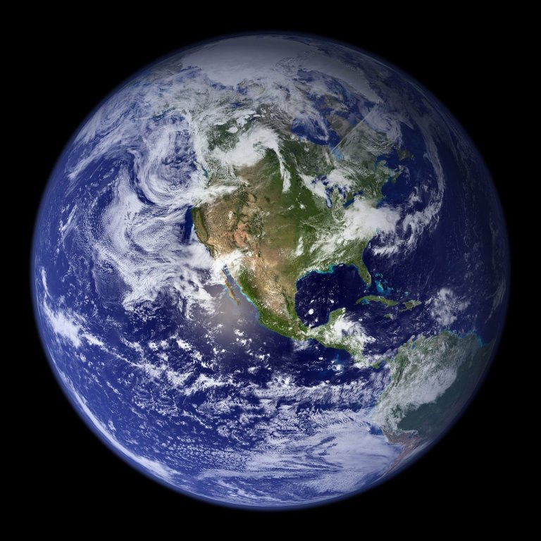
Credit: CC0 Public Domain A large satellite which ended its mission 13 years ago will come crashing...
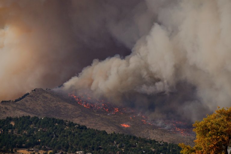
Credit: Unsplash/CC0 Public Domain Wildfires in Southeast Asia significantly affect peoples’ moods, especially if the fires originate...
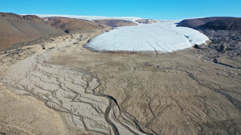
Russell Glacier and proglacial area, near Kangerlussuaq, west Greenland. Credit: Jonathan Carrivick An estimated 11,000 sq miles...
A composite of 29 individual exposures from the Canada-France-Hawaii Telescope on Maunakea, taken in August 2022. The...
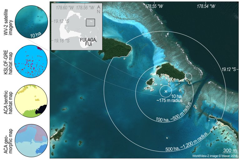
Generating dynamic habitat windows in the Fulaga Atoll (Fiji). In this example, habitat windows encompassed 10, 100...
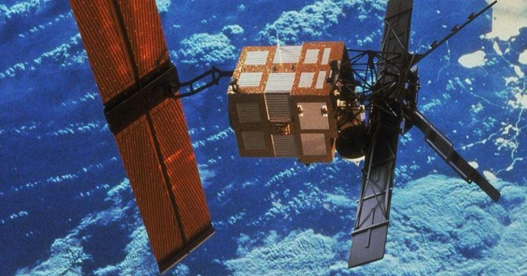
Heads up! Tin Can Deorbit A massive, defunct satellite is set to come crashing through the Earth’s...


