Credit: Unsplash/CC0 Public Domain Spring has officially arrived in the Northern Hemisphere, while the Southern Hemisphere is...
Satellites
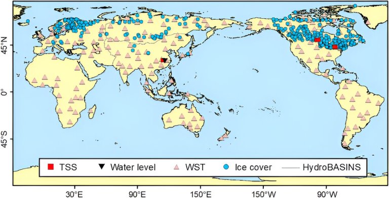
Locations of in situ data for four water parameters examined in this study. Credit: Journal of Remote Sensing...
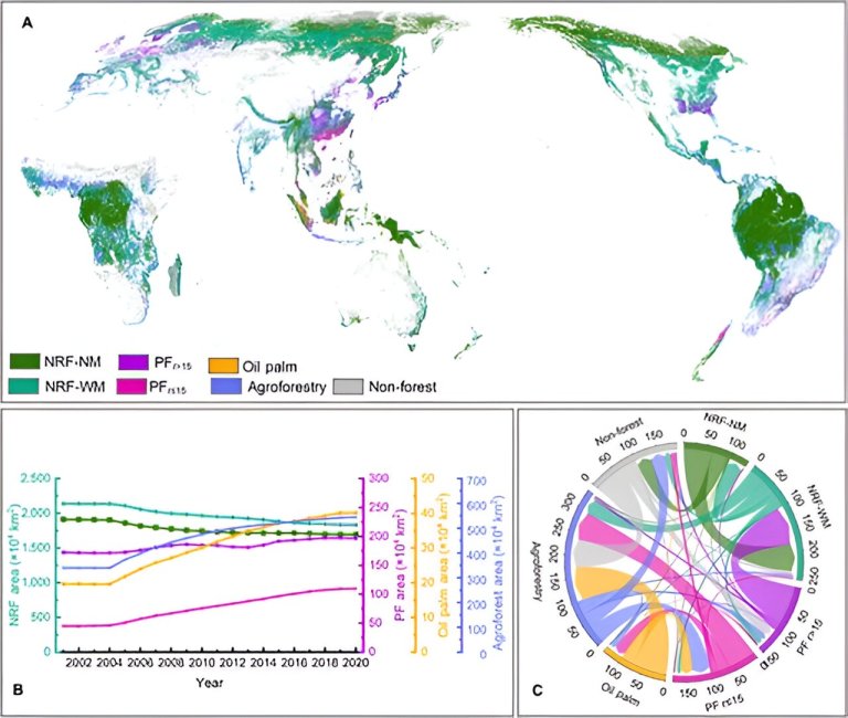
Spatial distribution, variations, and transitions of different forest management types from 2001 to 2020. Credit: Journal of...
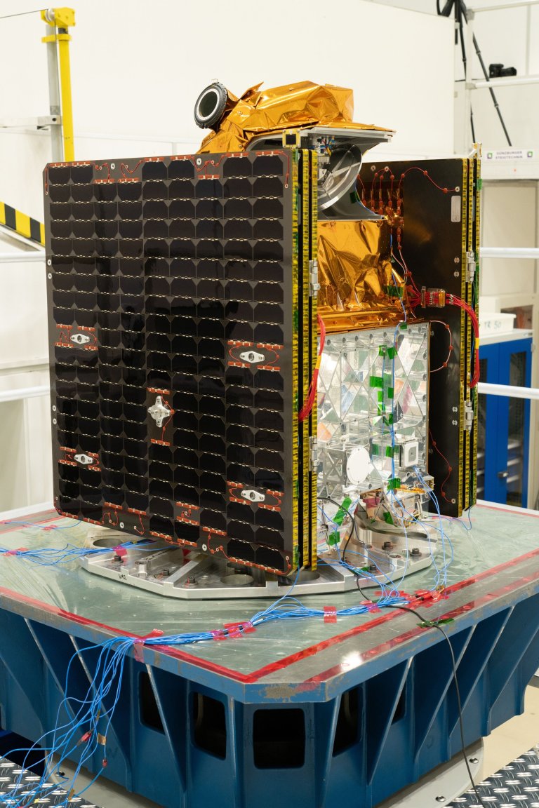
ESA’s Arctic Weather Satellite being prepared for environmental tests at IAGB in Ottobrunn, Germany. The photograph shows...
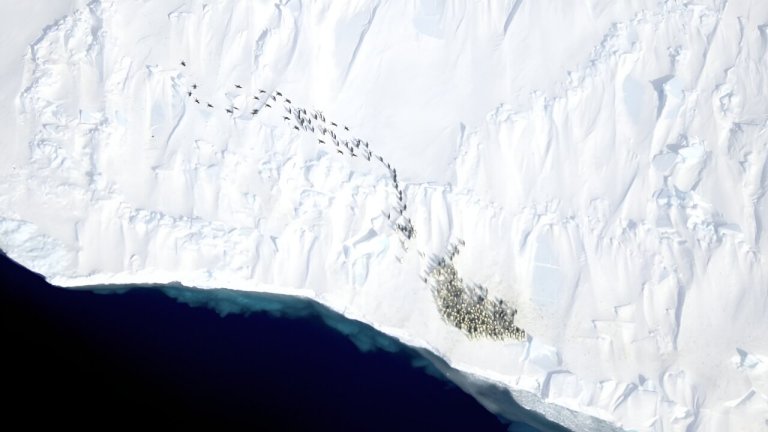
A new study by WHOI researchers and international partners incorporates very high resolution satellite imagery with field...
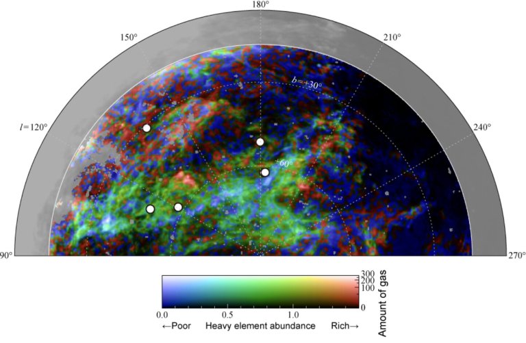
Galactic gas shows varying heavy element distribution: blue indicates scarcity, red indicates richness. Credit: T. Hayakawa/Y. Fukui,...
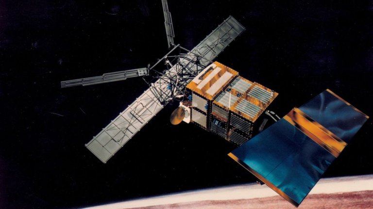
There is some interesting residual fallout from the recent nosedive to Earth of the European Remote Sensing...
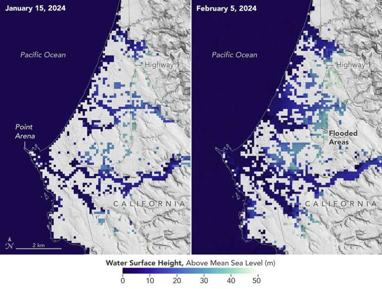
This image shows SWOT satellite data for water surface height in part of Mendocino County, Northern California,...
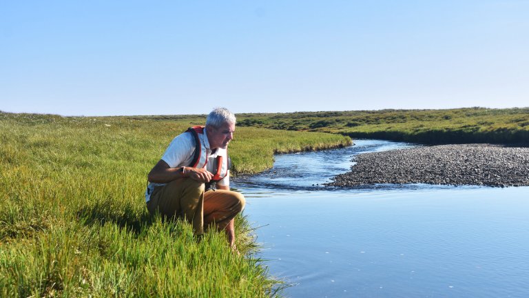
Michael Rawlins collecting data samples from an Arctic stream. Credit: University of Massachusetts Amherst Scientists at the...
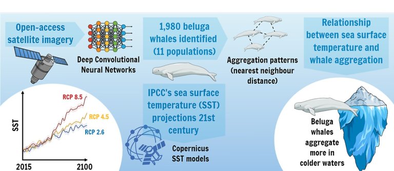
Relation between beluga whale aggregations and sea temperature on climate change forecasts. Credit: Frontiers in Marine Science...


