A Russian military satellite named Luch-2 was found closely approaching a geostationary satellite last month, a maneuver...
Satellites
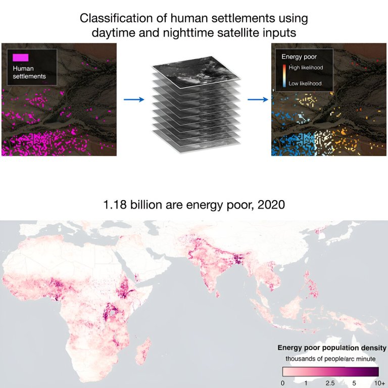
Credit: Joule (2024). DOI: 10.1016/j.joule.2024.05.001 An international team of political scientists, data scientists, economists and environmental scientists...
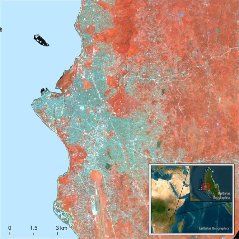
This 3m resolution, multispectral image of Zanzibar City, taken from the PlanetScope satellite constellation, emphasizes the near-infrared...
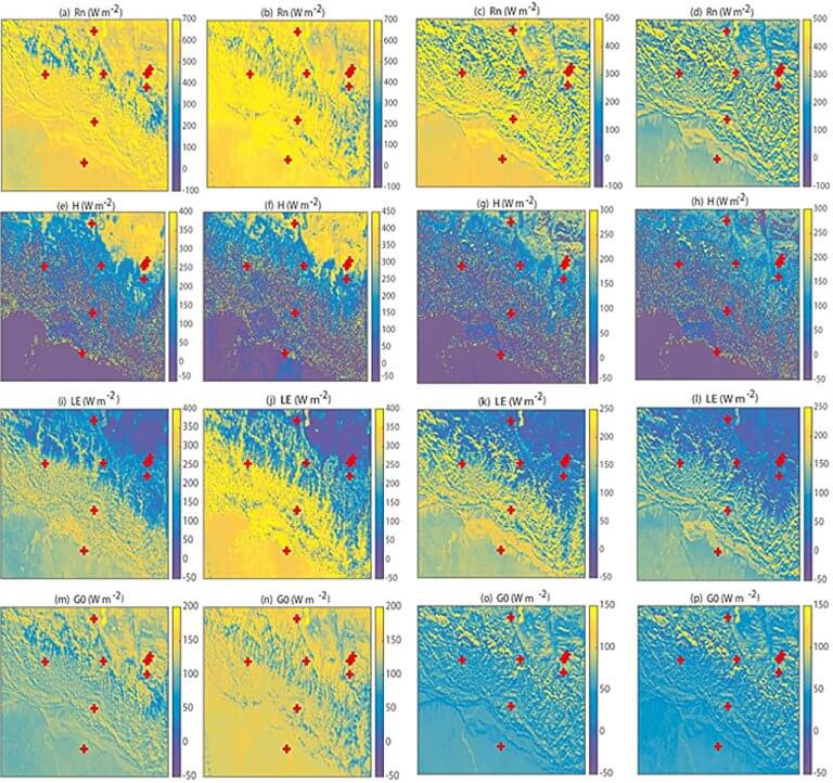
Observation site located at the north base camp of Mount Everest. Credit: Li Maoshan Under the background...
Credit: CC0 Public Domain A European-Japanese climate research satellite designed to study Earth’s temperature balance was launched...
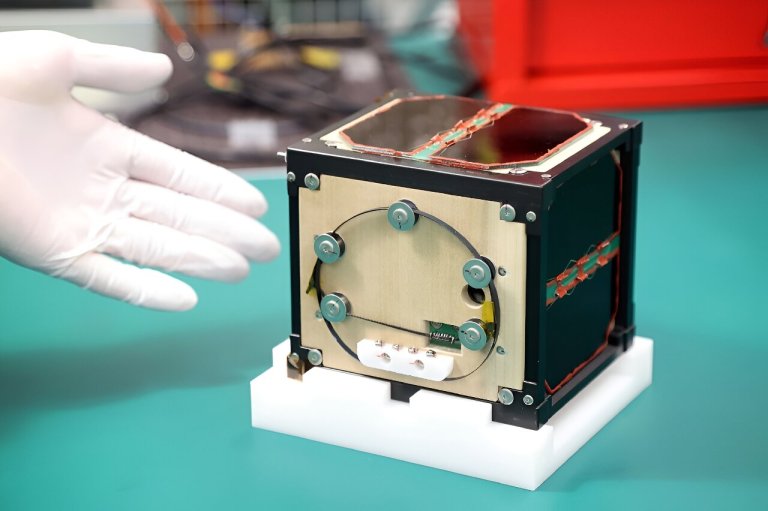
The world’s first wooden satellite made from wood developed by scientists at Kyoto University and logging company...
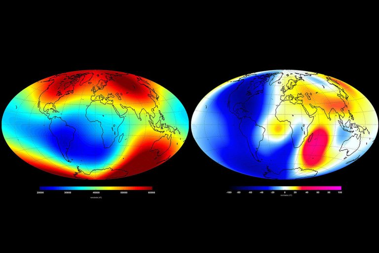
Changes in the Earth’s global magnetic field over six months in 2014 as measured by the European...
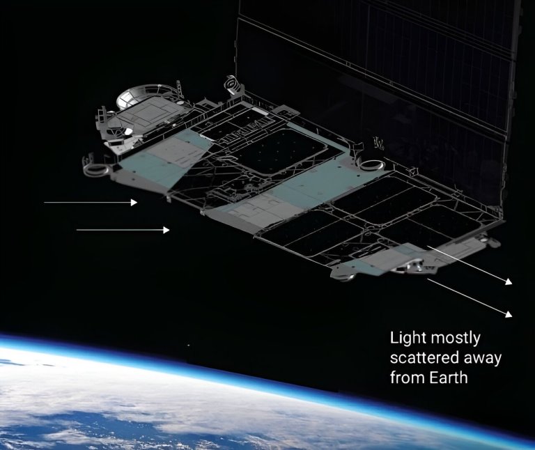
This diagram and artist illustration demonstrates how sunlight reflects off a Starlink version 1.5 satellite. Credit: SpaceX...
A small Pakistani satellite has imaged the sun and moon from lunar orbit, having taken a ride...
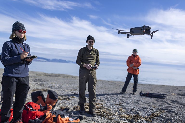
During Walrus From Space field work in Svalbard, Norway, Peter Fretwell and Hannah Cubaynes (both BAS) operate...


