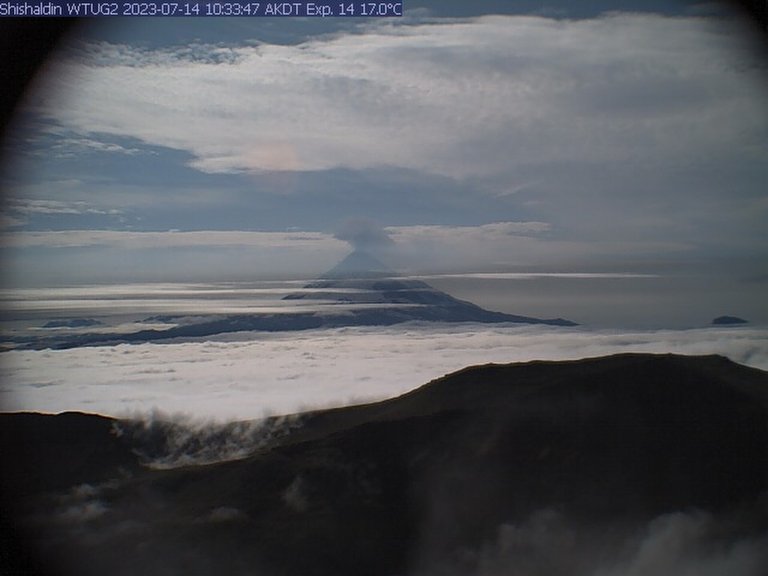
This image courtesy of Alaska Volcano Observatory/U.S. Geological Survey shows a low-level ash plume from the Shishaldin...
Phys.org
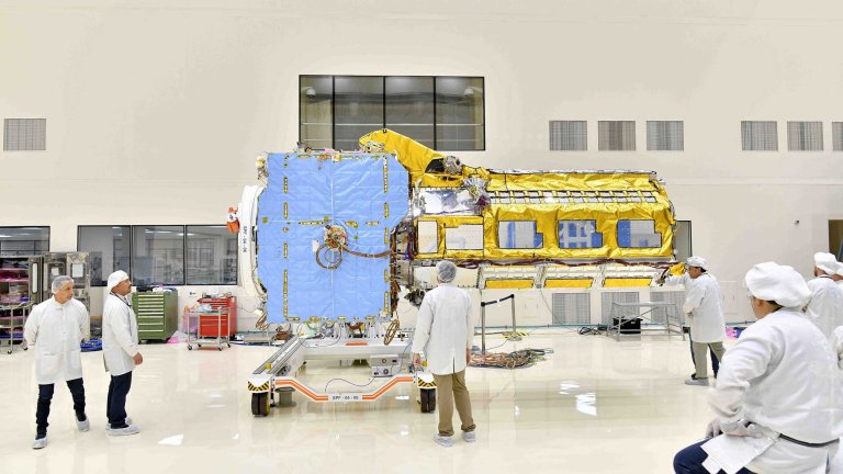
Engineers joined the two main components of NISAR—the spacecraft bus and the radar instrument payload—in an ISRO...
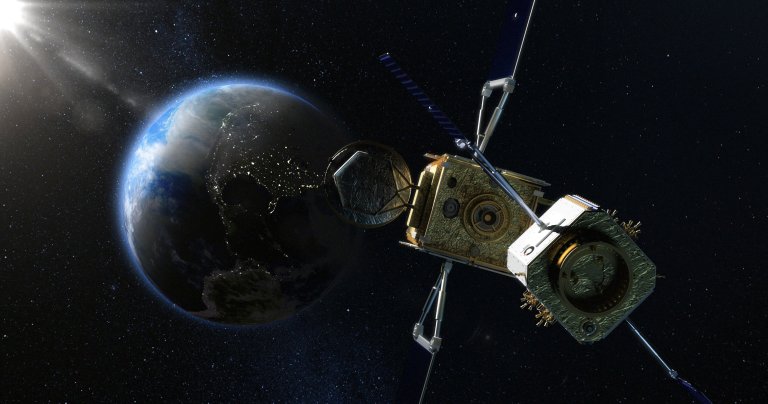
An artist impression of how ClearSpace’s servicing spacecraft would approach a satellite in geostationary orbit, to latch...
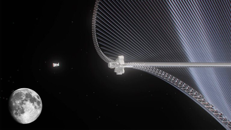
Credit: Astrostrom The concept of gathering some of the unlimited sunlight available in space, then transmitting it...
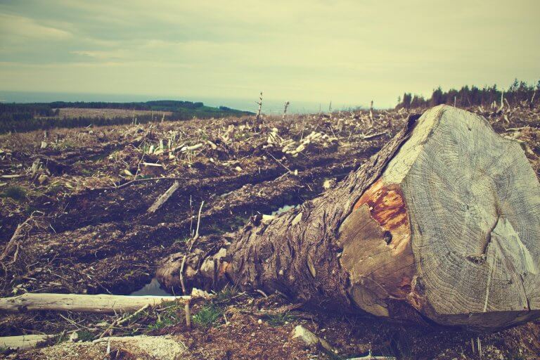
Credit: Pixabay/CC0 Public Domain Remote sensing methods are transformative tools used to study deforestation, but they are...
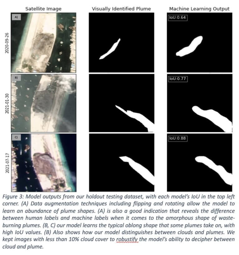
Plumes of smoke from burning trash rise from Thilafushi island in the Maldives. New research using satellite...
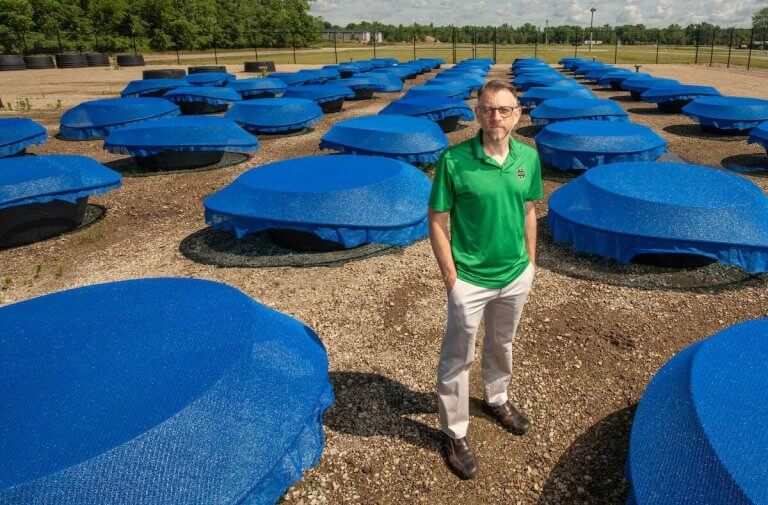
Researchers from the University of Notre Dame, in a study recently published in Nature, found that removing...
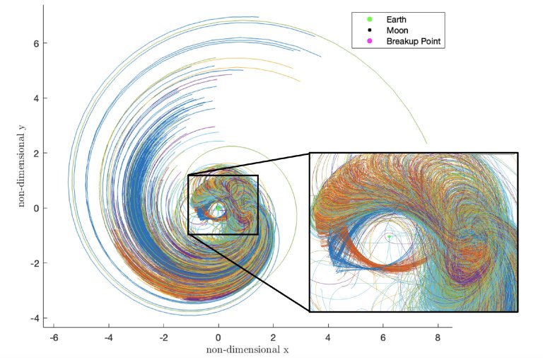
In this chart, fragments of an exploded spacecraft near the moon are predicted to disperse millions of...
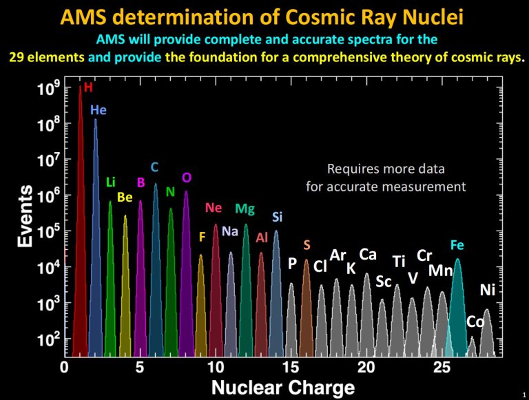
The AMS measured charge Z of all the cosmic ray nuclei up to Ni. Credit: AMS Collaboration....
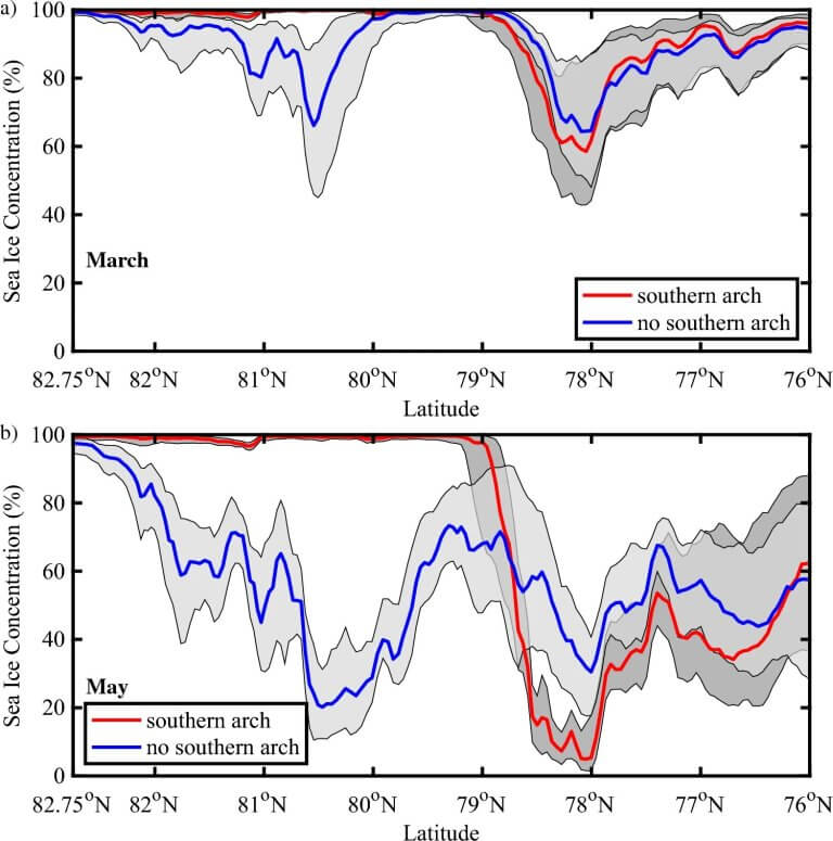
Spatial variability in sea ice concentration (%) along Nares Strait. Results are shown for: (a) March and...


