

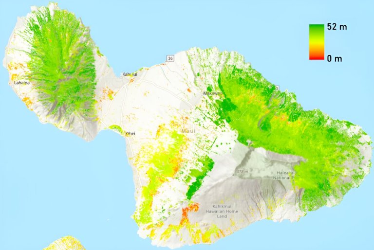
The 30-meter resolution forest height map covers the mountainous areas in Maui. Credit: University of Hawaii at...
Phys.org
Satellite remote sensing is a unique technique for globally monitoring the Earth’s environment. Red and yellow shading...
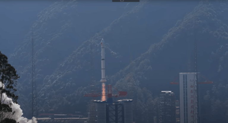
Credit: Pixabay/CC0 Public Domain China successfully launched a satellite into space on Tuesday, state broadcaster CCTV said....
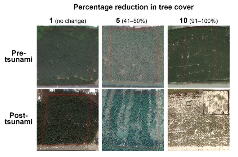
The upper panel depicts the coastal forest pre-tsunami, while the lower panel illustrates the forest post-tsunami. Each...
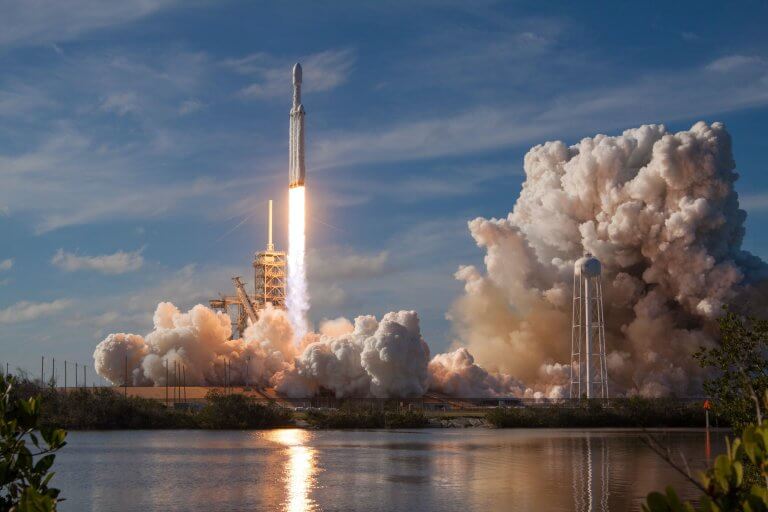
Credit: Unsplash/CC0 Public Domain The first SpaceX launch of 2024, which took place Tuesday night, included something...
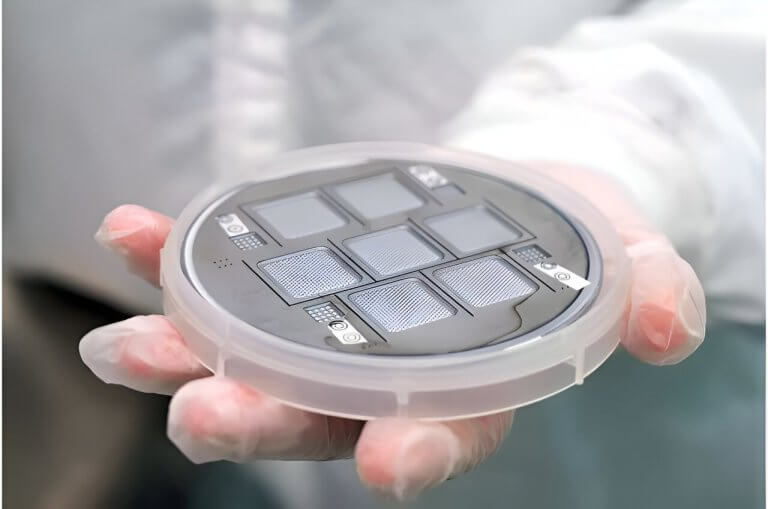
Credit: IENAI Space Rocket propulsion technology has progressed leaps and bounds since the first weaponized rockets of...
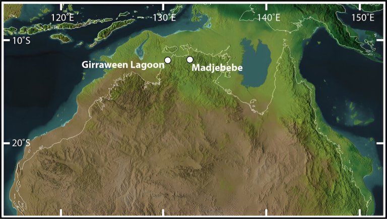
CC BY-ND”> When the sea levels were lower, people could walk from Australia to Papua New Guinea....
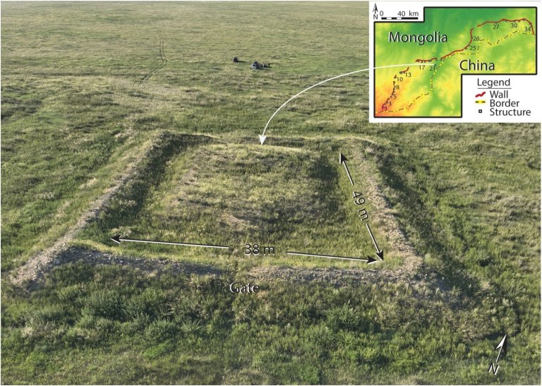
Drone photo of Khaltaryn Balgas (MA21). Credit: Journal of Field Archaeology (2023). DOI: 10.1080/00934690.2023.2295198 A team of...
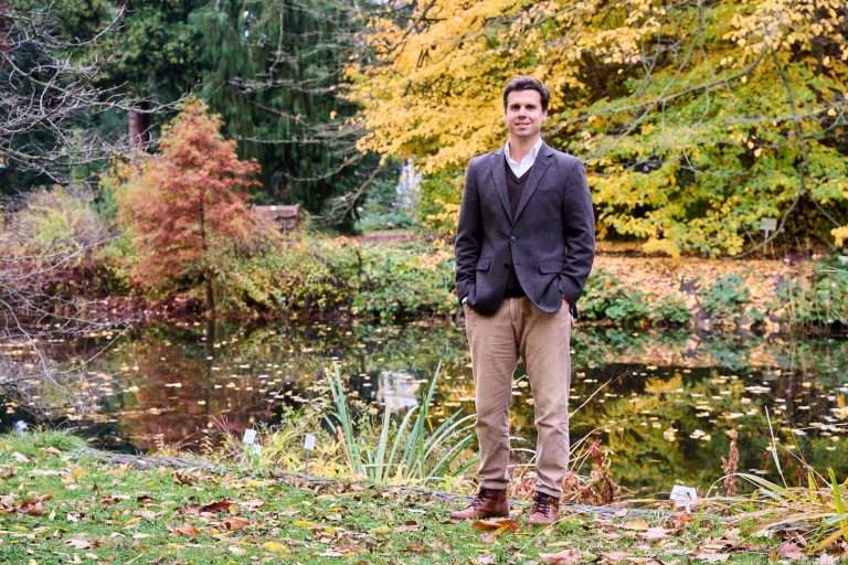
David Wuepper is studying how political measures are influencing the transition to sustainable agriculture as part of...
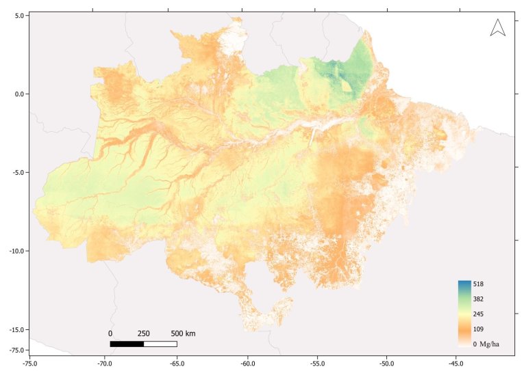
Distribution of above-ground biomass in the Amazon in metric tons per hectare. Riparian vegetation along watercourses can...


