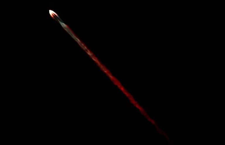
A SpaceX Falcon 9 rocket flies carrying a payload of 22 Starlink satellites into space. Argentina on...
Phys.org
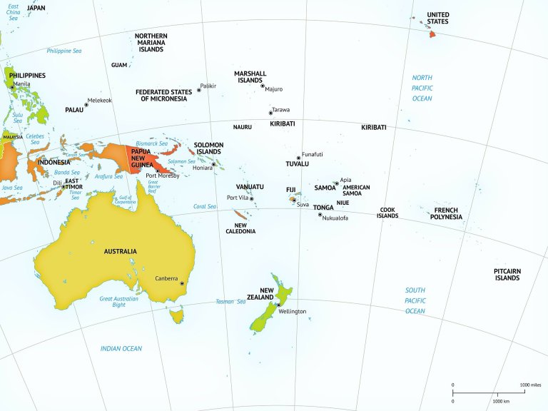
Credit: Pixabay/CC0 Public Domain Assessing the effectiveness of international aid across Indonesia, the world’s fourth most populous...
Viticulture depends on nature’s contributions to people. A seal of origin based on terroir can create awareness...
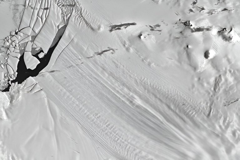
1973 satellite image of Antarctica’s Pine Island Glacier ice shelf showing several visible bumps on the ice...
Artist’s impression of ERS-2 in space. Credit: ESA Launched in 1995, ERS-2 was a pioneering Earth observation...
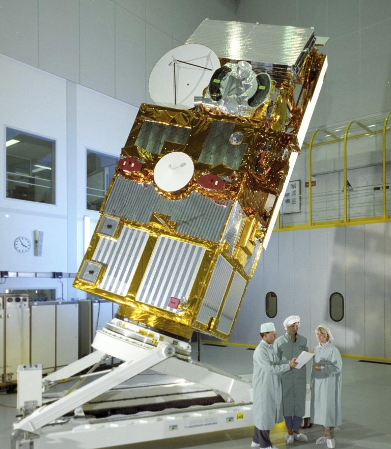
This photo provided by the European Space Agency shows the European Remote Sensing 2 satellite (ERS-2) satellite...
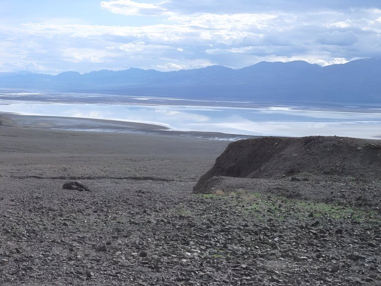
Lake Manly . Credit: Wikimedia Commons TimShell Creative Commons CC0 1.0 Universal Public Domain Dedication Storms pummeling...
The structure of the designed deep learning model in this study with an enlarged structure of the...
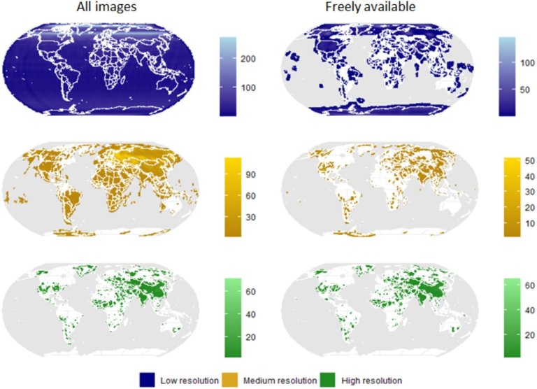
Spatial coverage and image density of spy-satellite images. The data have been classified in three spatial resolution...
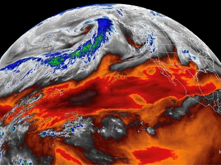
Atmospheric rivers, filaments of intense moisture transport in the atmosphere, can now be automatically detected in satellite...


