Credit: Joule (2024). DOI: 10.1016/j.joule.2024.05.001 An international team of political scientists, data scientists, economists and environmental scientists...
Phys.org
Flowchart of our approach to map cropland abandonment. Credit: Environmental Research Letters (2024). DOI: 10.1088/1748-9326/ad2d12 Farmland is...
This 3m resolution, multispectral image of Zanzibar City, taken from the PlanetScope satellite constellation, emphasizes the near-infrared...
An example spectrum from MMT-Hectochelle for a member of Theia 456 (Gaia DR3 191357324369704448) in black, and...
Observation site located at the north base camp of Mount Everest. Credit: Li Maoshan Under the background...
Evergreen needleleaf forest in the sunshine. Credit: YiYing Zhu Since 1850, global temperatures have been steadily rising....
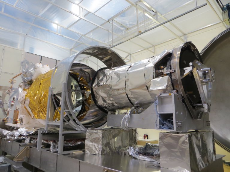
Credit: CC0 Public Domain A European-Japanese climate research satellite designed to study Earth’s temperature balance was launched...
Predicting colony density with the windchill model. A Example of a ground based image recorded on 2017-08-22...
The world’s first wooden satellite made from wood developed by scientists at Kyoto University and logging company...
Changes in the Earth’s global magnetic field over six months in 2014 as measured by the European...