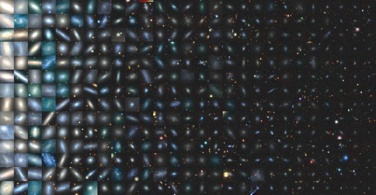
A mosaic of the images of 378 satellites across 101 Milky Way-like systems that the SAGA team...
Phys.org
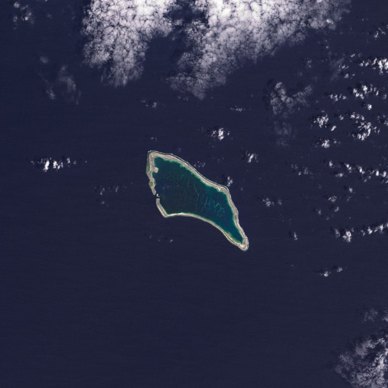
Pacific Island nations such as Kiribati—a low-lying country in the southern Pacific Ocean—are preparing now for a...
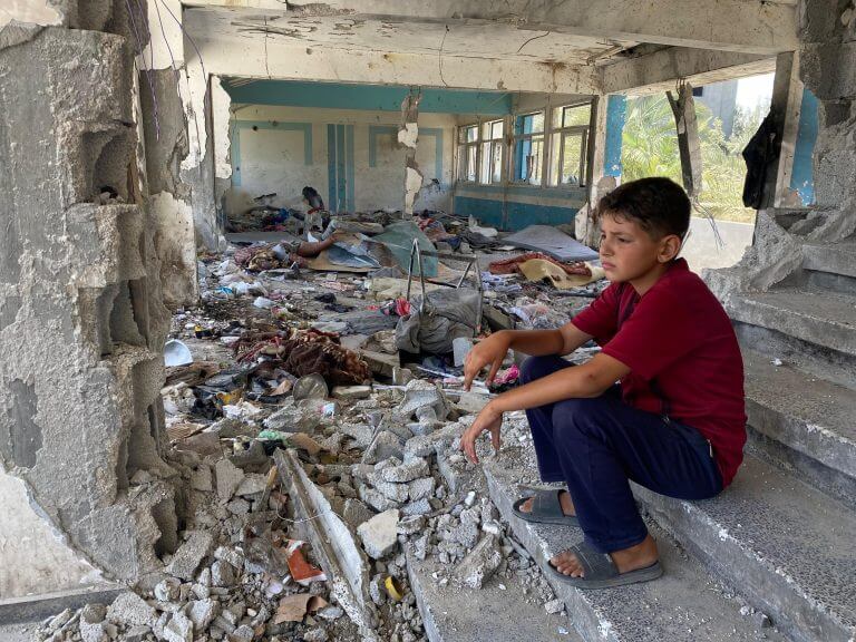
Boy sitting in the rubble of a destroyed UNRWA school in Nuseirat, Middle Areas of the Gaza...
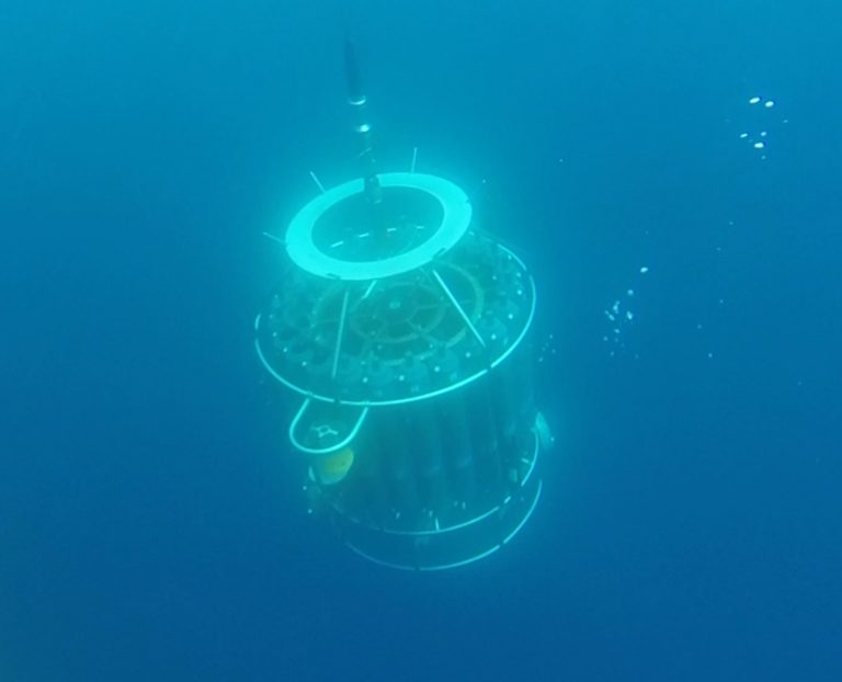
CTD rosette – a device equipped with sensors and bottles to collect water samples and measure different...
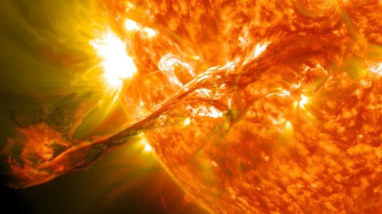
A solar flare erupts on the sun. Credit: NASA/GSFC/SDO Solar flares are a fascinating thing and have...
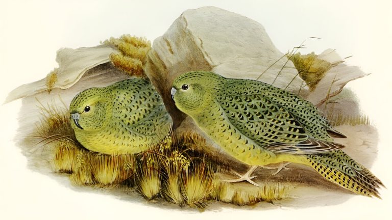
Wikimedia, CC BY“> The night parrot lives in arid inland Australia. Pictured: an 1890 illustration by Elizabeth...
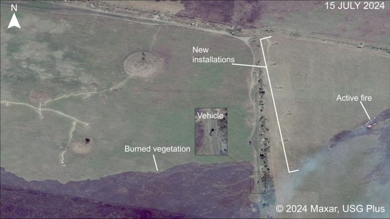
UVA researchers used high-resolution satellite imagery to examine Russian troop movements in the area around the kurgans....
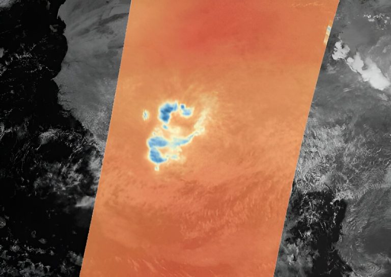
Credit: European Space Agency Just a month after its launch, ESA’s Arctic Weather Satellite has already delivered...
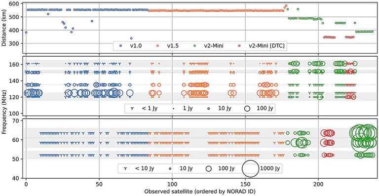
Distances and power flux density measurements of Starlink satellites that passed through the beam pattern of the...
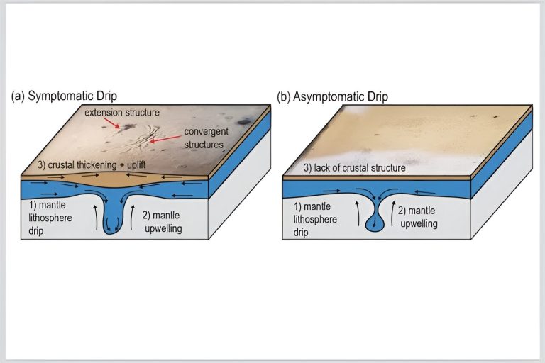
Artist’s impression of two types of lithospheric drip: one produces thickening and uplift of Earth’s crust, while...


