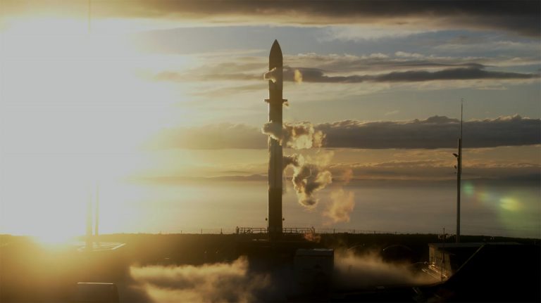
In this photo released by Rocket Lab, Rocket Lab’s Electron rocket sits on the launch pad on...
Phys.org
Credit: CC0 Public Domain Published today in the journal Earth’s Future, researchers from UCL, the University of...
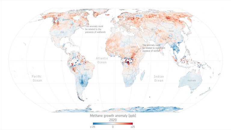
This global map shows the annual increase of methane emissions relative to the global mean annual increase...
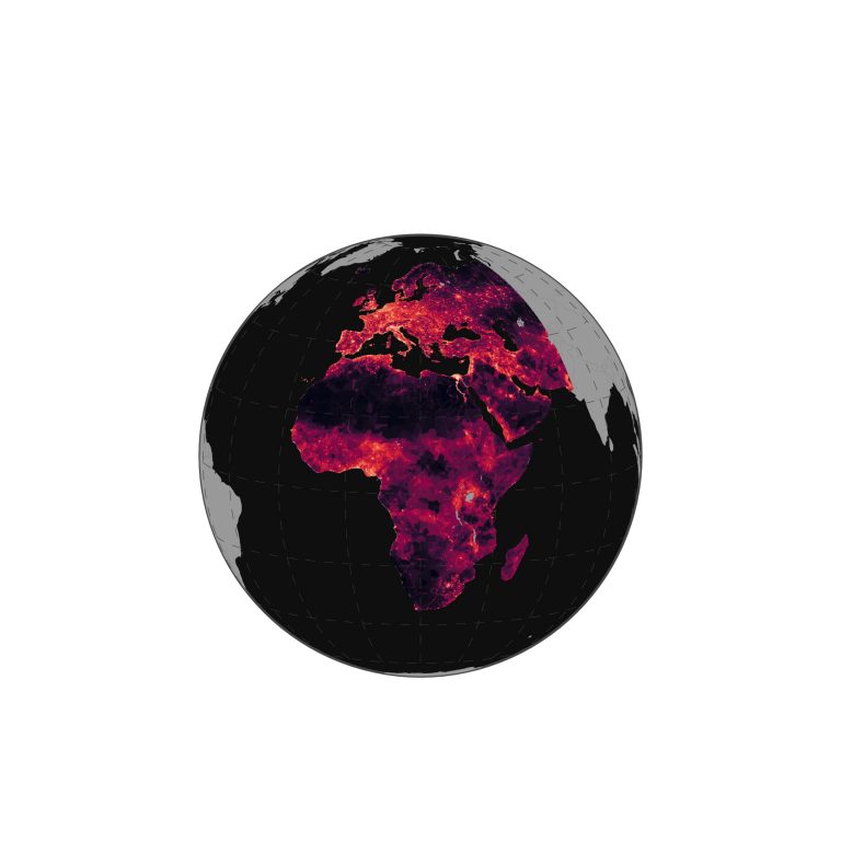
Levels of direct mortality threat intensity across the studied region. Darker regions indicate lower levels of direct...
Dutch and American engineers install SPEXone on the PACE satellite. Credit: GSFC Over the past few weeks,...
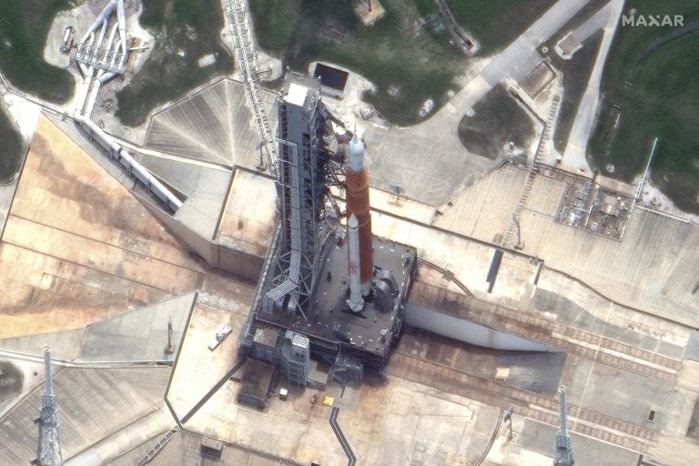
This satellite image provided by Maxar Technologies shows NASA’s Space Launch System (SLS) rocket and and the...
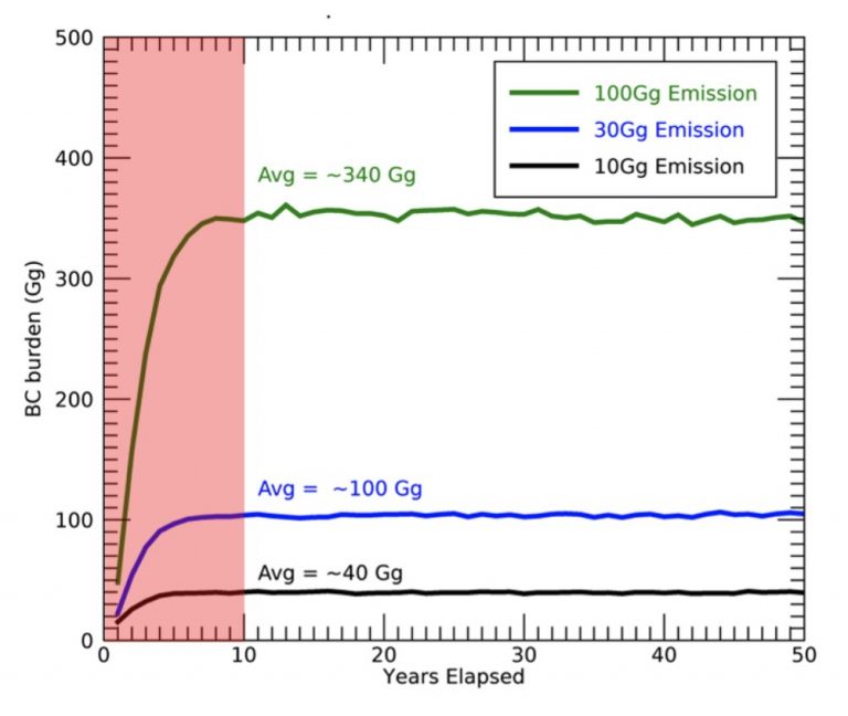
This graph depicts the yearly global stratospheric black carbon burden generated by 10,000 metric tons of soot...
Credit: Pixabay/CC0 Public Domain South Korea launched its first domestically built space rocket on Tuesday in the...
Researchers from the Institute of Industrial Science, The University of Tokyo, have developed a model to explore...
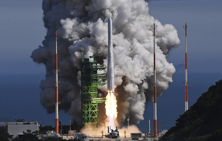
The Nuri rocket, the first domestically produced space rocket, lifts off from a launch pad at the...


