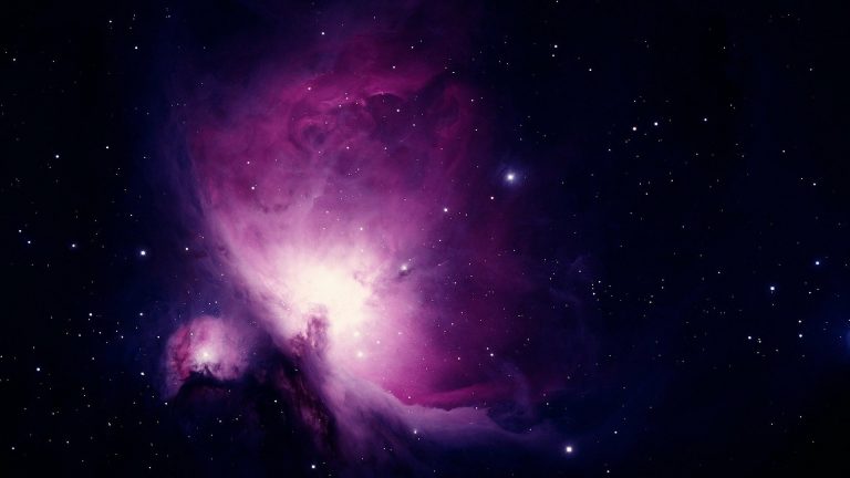
Credit: Pixabay/CC0 Public Domain In our daily lives, we rely on weather forecasts to know whether it...
Phys.org
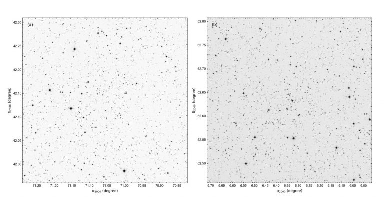
Identification chart of stars located in regions of Berkeley 68 (a) and for Stock 20 (b). Credit:...
Credit: NASA On July 31, 2013 a constellation of US defense satellites saw a streak of light...
The Sun`s atmosphere: Computer simulation of the architecture of the magnetic field in the middle corona on...
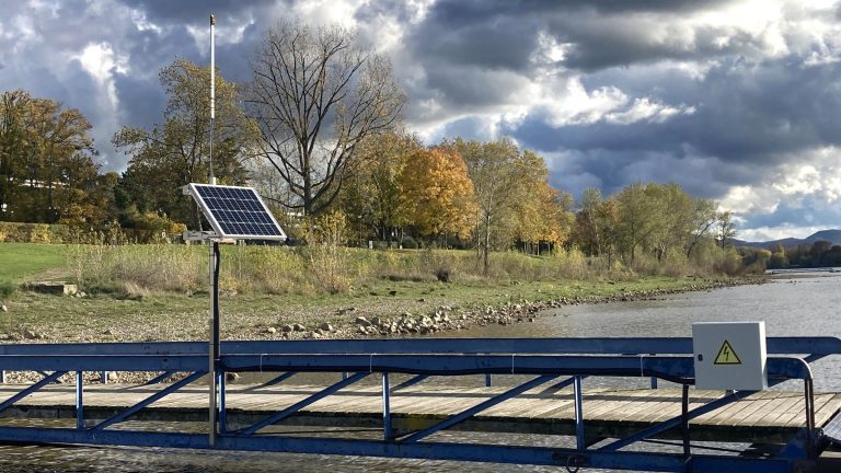
The water level sensor can be operated with solar cells and then works completely stand alone with...
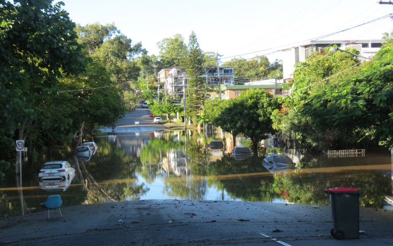
Flooding in Brisbane city. Credit: The University of Queensland Researchers at The University of Queensland have used...
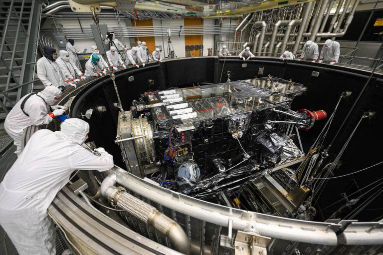
GOES-U is lowered into the thermal vacuum chamber. Credit: Lockheed Martin NOAA’s GOES-U, the final satellite in...
New research provides an improved understanding of the causes of historical changes in climate and increases confidence...
NASA’s Orbiting Carbon Observatory (OCO-2) satellite can make precise measurements of global atmospheric carbon dioxide (CO2) from...
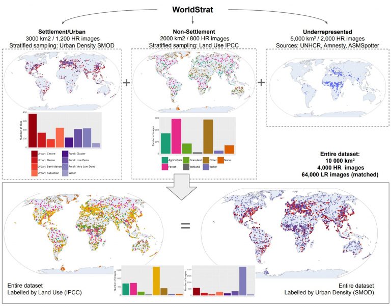
Summarizing the construction and classes of the WorldStrat dataset. Credit: arXiv (2022). DOI: 10.48550/arxiv.2207.06418 A global open-source...


