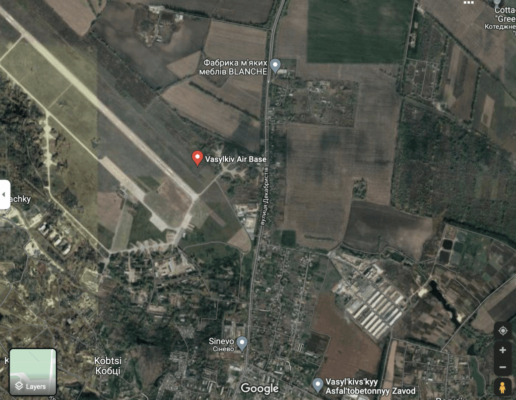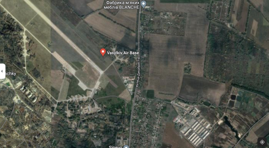
Satellite images show Russia’s troop movements but can they reveal intent? (Image Credit: Space News)

WASHINGTON — A steady stream of imagery from commercial spy satellites provides extraordinary intelligence about Russian troop advances in Ukraine and attacks on Ukrainian cities. But as the conflict grinds on, intelligence analysts are still being challenged to figure out Russian intent, experts said March 2.
“We’re seeing unprecedented sharing of intelligence,” said Kari Bingen, chief strategy officer of HawkEye 360, a commercial remote sensing satellite operator.
“The challenge is getting after the intent,” she said. “We see capabilities but what’s their intent?”
Bingen, a former deputy undersecretary of defense for intelligence, spoke on a panel at an International Institute for Strategic Studies event.
The availability of intelligence from commercial sources over the past few weeks has been remarkable and “clearly driven by the urgency of the moment,” Bingen said. It is a positive development that should be sustained going forward, she added. “It’s a competitive advantage we have vis-a-vis Russia and China.”
Bingen said the Ukraine crisis has sent a loud demand signal for “sharable information, so let’s institutionalize greater sharing.”
She noted that commercial imagery contributes to the overall intelligence picture but analysts don’t always get all the answers they need.
Jake Harrington, an intelligence fellow with the international security program at the Center for Strategic and International Studies, made that point in a War on the Rocks article.
“There are space-based remote sensors. Maxar and Planet conduct the geospatial intelligence mission, delivering near-persistent high resolution satellite imagery that allows analysts to document troop movements and build-ups in detail,” Harrington wrote.
“On the ground, sensors are everywhere — often in the form of cellphone cameras — capturing military movements, such as transport west of military equipment from Russia’s far east. On Twitter, TikTok, and Telegram, additional human sources — with varying credibility and access — are sharing real-time updates on key indicators, like long queues for gasoline or intensifying shelling in Donetsk,” he added. “What becomes clear in processing all of this data, however, is that insight into capabilities is often plentiful, while insight into intentions can be sparse.”
Another issue to consider as more imagery becomes available is that adversaries will figure out a way to counter their effectiveness, said Col. Benjamin Ogden, space operations officer at the U.S. Army War College
“It’s a double-edged sword,” he said. The high-quality imagery that is now openly shared makes it difficult for anybody to hide or conduct an ambush. “Will there be operational surprise any more?” Ogden said. “That is impossible now with the all imagery available to anyone that can pay for it.”
That has implications for the U.S. military, he said. “Your activity is going to be watched.” One of the implications is that there will be a need for “deception operations,” a military tactic used to intentionally mislead adversaries.
The central role being played by commercial satellite operators, meanwhile, means these companies could become targets, experts cautioned.
“Russia for example may employ hacking or other cyber warfare against parties that they feel are acting against them,” Paul Hartman, chief engineer at the MITRE Space Warfighting Division, said in a statement to SpaceNews.
“Nation states can also play in the release of information through embargoing the export of certain materials to include imagery which may be used by Russia to their advantage,” Hartman noted.
Each commercial company has the right to determine who they will provide products to and when, he pointed out. A commercial imaging company can decide to deny service to one entity while providing it to another. “The consequences may involve settling grievances at an international level, but denial of service is a company decision,” said Hartman.


