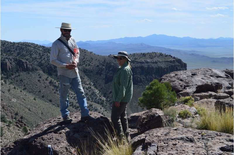
New vegetation mapping tools aids flexible rangeland management (Image Credit: Phys.org)

Powerful new digital mapping tools developed by University of Nevada, Reno researchers hold promise to improve management of rangeland, particularly public lands in the far-flung Western United States.
The significant improvements in mapping of vegetation enabled by the University’s research provide managers of rangeland, ranchers as well as federal managers of public lands, with better information to make large-scale decisions to mitigate effects of grazing, wildfire and other potential disruptions.
The research was conducted by Lucas Phipps, a rangeland ecologist, and Professor Tamzen Stringham, both in the Department of Agriculture, Veterinary & Rangeland Sciences in the University’s College of Agriculture, Biotechnology & Natural Resources. Stringham also conducts research as part of the College’s Experiment Station. The results were published in the journal Rangeland Ecology and Management.
Putting big data to work
Phipps explained that the new mapping process employs robust machine learning that crunches massive amounts of information gathered by satellite imagery as well as data gathered painstakingly by generations of scientists working on the ground. The result: map grids that show vegetation patterns more accurately than previous methods.
Accurate information about vegetation is particularly important in Nevada, where the federal government owns more than 80% of the land. Many ranchers in the state want more flexibility in the management of the rangeland they lease from federal agencies. In fact, four ranches in the state have joined with the Bureau of Land Management to test management practices that provide ranchers with more ability to respond themselves to changing conditions.
But that sort of flexible management requires the best-possible information about vegetation and changes in vegetation patterns to ensure that rangeland is grazed appropriately, Phipps said.
Two of the Nevada ranches participating in the BLM’s Outcome-based Grazing Program—the Winecup-Gamble Ranch northeast of Wells and the Smith Creek Ranch west of Austin—became test sites for the mapping technology developed by University researchers.
The sprawling Winecup-Gamble Ranch would be particularly challenging for traditional vegetation-mapping techniques, Phipps said. The ranch encompasses about a million acres, an area larger than Rhode Island, along the Nevada-Utah state line. Many of the remote stretches of the ranch would be difficult for on-the-ground monitoring of vegetation.
High-quality mapping
In the past, vegetation maps were created from studies of soil types, along with data about factors such as rainfall, average temperatures and elevation. The advent of remote data from NASA’s Landsat satellite allowed researchers to create large-scale maps beginning in the mid-1980s, and researchers began to use satellite imagery to track large-scale changes from one year to the next.
The process developed by Phipps and Stringham uses machine-learning analysis of more than 40 environmental variables, to develop vegetation maps that have more information, and better-quality information, than existing mapping products. Maps generated by the new process were validated by on-the-ground observations at 450 sites.
Despite the accuracy and wide vision of the vegetation maps generated by machine learning and remote imaging, Phipps said the new technology still can’t replace the observations of skilled scientists working in the field.
“Boots-on-the-ground remains the gold standard,” he said. “But to create maps of large areas, or remote areas, it becomes a manpower problem.”
Impacting the West, the world
The mapping project, Phipps said, fits well with the University’s mission as a land-grant university, where much of the work focuses on improving the daily lives of people across Nevada and beyond. Efforts to help wildlands recover from the disruptions of fire, mining exploration and off-highway vehicles all will be strengthened by better understanding of vegetation patterns.
While the new vegetation mapping was developed on the two Nevada ranches, Phipps said a clear next step would involve its rollout across the remainder of Nevada and neighboring states.
And it’s not just Nevada and other Western states that will stand to benefit. Phipps said other countries that haven’t undertaken extensive soil surveys could use the new technology to develop high-quality vegetation maps that will allow them to make better decisions.
“The scientific community, ranchers and federal land managers all share an interest in good stewardship of rangelands,” Phipps said. “They’ve been really complimentary of the University’s work, as they have seen the possibilities of this important new tool for vegetation mapping.”
More information:
Lucas Phipps et al, Digital Mapping of Vegetative Great Groups to Inform Management Strategies, Rangeland Ecology & Management (2024). DOI: 10.1016/j.rama.2024.01.006
Provided by
University of Nevada, Reno
New vegetation mapping tools aids flexible rangeland management (2024, June 4)
retrieved 6 June 2024
from https://phys.org/news/2024-06-vegetation-tools-aids-flexible-rangeland.html
part may be reproduced without the written permission. The content is provided for information purposes only.


