


The first lunar maps consisted of simply the best images of the Moon from Earth-based telescopes, which were converted to provide necessary information for the Apollo astronauts.
But whenever the next lunar explorers arrive, they’ll have incredibly detailed topographic maps of the Moon’s surface, thanks to the high-resolution cameras and instruments on board satellites like the Lunar Reconnaissance Orbiter. LRO’s Lunar Orbiter Laser Altimeter (LOLA) zaps the Moon an incredible 140 times every second, measuring the ups and downs, nooks and crannies on the lunar surface to an accuracy within four inches.
But other types of maps of the Moon have been created, such as the detailed lunar mineral map we reported on last month, from the US Geological Society’s (USGS) Astrogeology Science Center.
And now, researchers at the University of Central Florida have compiled a lunar satellite data to create another type of map to help future prospectors looking for water ice on the Moon.
Called an Ice Favorability Index, this geological model explains the process for ice formation at the poles of the Moon. It includes maps of the terrain and shows which craters are likely to contain ice deposits. It takes into account geological processes and asteroid impacts and how these events have likely created deposits of ice, meters beneath the lunar surface.
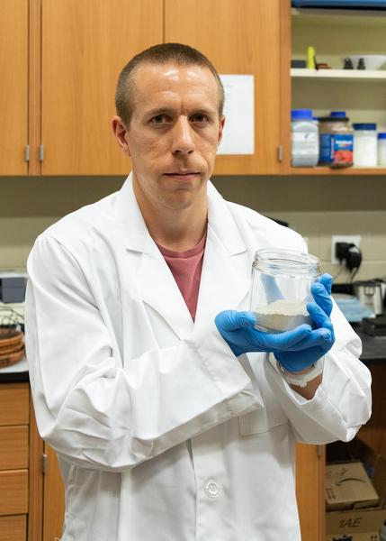
“Despite being our closest neighbor, we still don’t know a lot about water on the Moon, especially how much there is beneath the surface,” said planetary scientist Kevin Cannon, from UCF, who lead the research. “It’s important for us to consider the geologic processes that have gone on to better understand where we may find ice deposits and how to best get to them with the least amount of risk.”

Credit: University of Central Florida
Before setting up a mining site on Earth, mining and extraction companies need to conduct detailed geological work, such as conducting field mappings, taking core samples and understanding the geological reasons behind the formation of the particular mineral they are looking for in an area of interest.
Cannon said his team followed the same approach, but used data collected about the Moon over the years from satellite observations and Apollo samples.
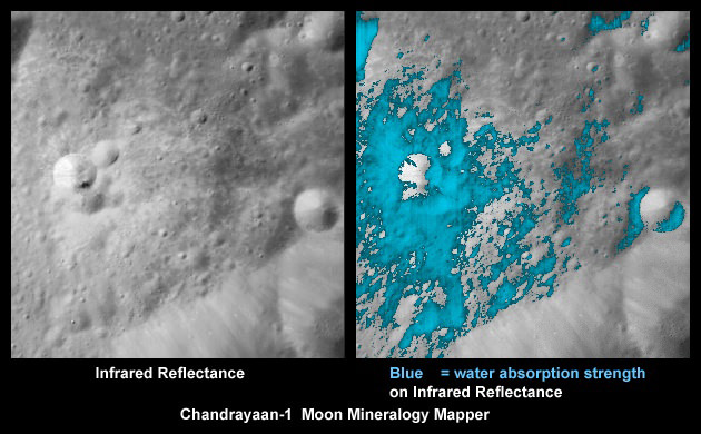
A plethora of data from various satellites have indicated the likely presence of water ice on the Moon. Data returned by the Lunar Prospector spacecraft, which launched in 1998, indicated that water ice might be present at both the north and south lunar poles, which was in agreement with interpretations of Clementine mission, launched in 1994. The ice appears to be mixed in with the lunar regolith (surface rocks, soil, and dust) with areas of near-pure water ice deposits.
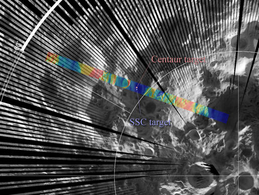
Later, the impact plumes of the Lunar CRater Observation and Sensing Satellite (LCROSS) and its Centaur rocket stage in Cabeus crater near the south pole of the Moon in 2009 showed the spectral signature of hydroxyl, a key indicator that water ice is present in the floor of the crater. Analysis of the results indicated concentrations of roughly 6% water in the impact area, including nearly pure ice crystals in some spots. At about the same time, India’s Chandrayaan-1’s Mini-SAR experiment indicated possible large deposits of water-ice in the northern lunar craters.
The model created by Cannon and his team considers sources of water ice on the Moon at and below the surface, and how various areas likely retained that ice. It focuses heavily on “impact gardening” – where impact events stir and mix the lunar regolith with water ice and other modifying minerals.
They used 3-dimensional impact simulations to model and explore how ice deposits might evolve in various areas of the Moon.
In their paper, published in the journals Icarus, the team said, “The simulation results showed ice concentrations should eventually become fairly homogeneous at meter to hectare scales due to impact gardening, and high concentrations are distributed randomly rather than clustered in Earth-like ore bodies.”
They found the best ice deposits for extracting would likely exist 10’s of centimeters deep or more. They also incorporated terrestrial mining software to create models that could inform future in-situ resource utilization demonstration missions and future mining operations planning.
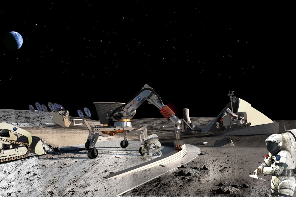
Why is lunar ice-mining important? Water ice could be turned into resources, like fuel, for space missions as well as water and oxygen for future lunar explorers or inhabitants.
“The idea of mining the Moon and asteroids isn’t science fiction anymore,” says UCF physics Professor and co-author Dan Britt. “There are teams around the world looking to find ways to make this happen and our work will help get us closer to making the idea a reality.”
– Advertisement –