

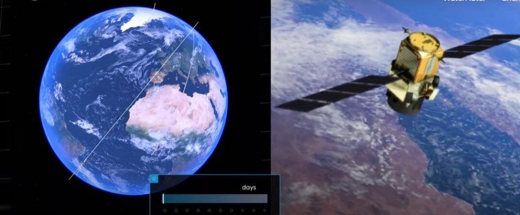


Satellite images of our planet have become essential to our survival, offering a new outlook of our world. With rising seas being one of the biggest threats to society, satellite altimeter missions such as Copernicus Sentinel-6 are essential in monitoring global and regional changes in sea level.
Unbeknown to many, the island of Crete, Greece, plays an important role in the Copernicus satellite altimetry constellation and on an international stage. Satellite altimetry data have to be continuously monitored at the ESA’s Permanent Facility for Altimetry Calibration where different techniques have pioneered the use of transponders to provide the best measurements to validate satellite altimeters in space soon after launch.
This documentary explains how measurements are taken from the top of the White Mountains to make sure users get the best data on sea height from satellite altimetry.
Explore further
Copernicus Sentinel-6 measuring sea-levels using radar altimetry
Video: Charting sea level from space (2022, June 9)
retrieved 10 June 2022
from https://phys.org/news/2022-06-video-sea-space.html
part may be reproduced without the written permission. The content is provided for information purposes only.