


Ursa Space Systems and Umbra are partnering to bring advanced synthetic aperture radar (SAR) analytics to a global market through Ursa’s suite of subscription and custom intelligence products.

The two companies first teamed to serve customers in late 2022 when Umbra initially began offering high-resolution SAR imagery for commercial use, and Ursa signed on as the company’s first commercial customer.
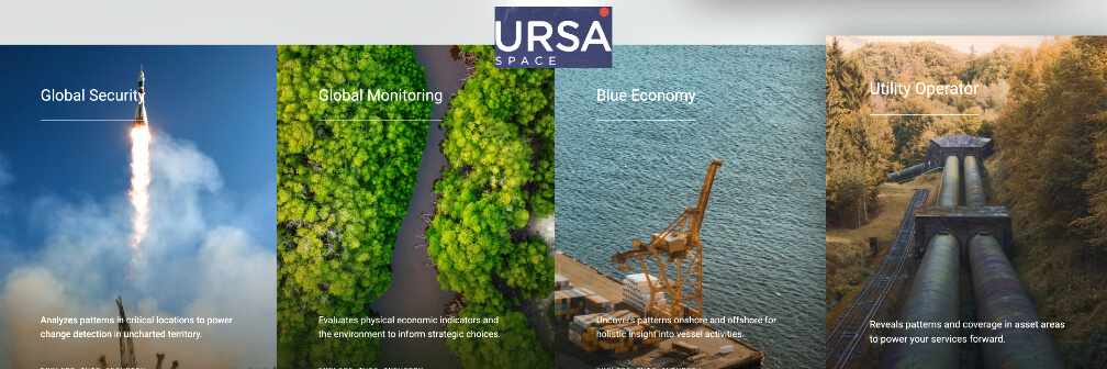
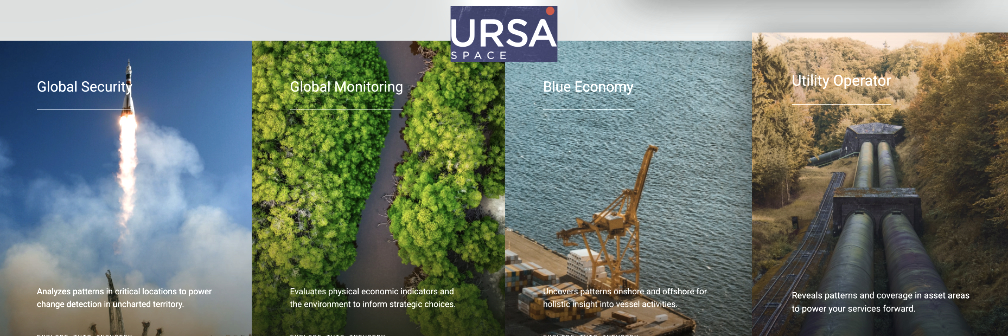
Umbra data has played an integral role in several of Ursa’s core global monitoring capabilities, including global oil storage assessment and vessel detection. Ursa is also using Umbra’s data to provide their customers with flood analytics — which are critically important to provide situational awareness for emergency responders on the ground. Flood data is also being used by Ursa customers to speed up the insurance claim process for those impacted by severe weather events.
Ursa cited data quality, API maturity and documentation, and open licensing as primary reasons why they chose to partner with Umbra. The data provided by Umbra adds additional capacity to Ursa’s Virtual Constellation, the world’s largest database of satellite imagery from the most-trusted SAR, optical, and radio frequency (RF) data vendors around the globe. Ursa also credits Umbra’s Compensated Phase History Data (CPHD) for providing an even more raw form of the data than is typically provided by other vendors, giving Ursa the ability to develop novel derived products through ongoing research and development efforts.
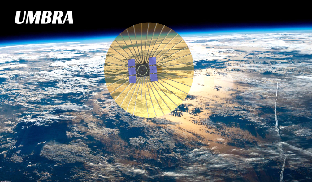
Umbra satellites are equipped with a powerful SAR payload, capable of seeing both day and night and through all weather conditions. The satellites enjoy an uncommonly large field of regard, which enables them to collect an unprecedented volume of images over densely clustered targets in high-demand areas.
Umbra is supporting a growing number of inspiring and innovative organizations monitoring the Earth in unprecedented fidelity. Umbra’s data can identify and monitor surface-level changes globally and be used for a variety of efforts including remote wildlife habitat protection, pollution and plastic waste tracking, oil spill detection, military intelligence gathering, live flooding estimation during storms and more.
Ursa Space leverages the world’s most comprehensive and progressive virtual constellation from multiple commercial sources and advanced data fusion capabilities, providing insights into physical changes on Earth. Ursa’s platform orchestrates satellite imagery and analytic services at scale, to rapidly deliver to customers insights when needed.
“Umbra’s high-resolution data allows for more accurate analysis, and by offering data with a wide range of processing levels, they enable development and evaluation of advanced analytics and techniques that wouldn’t otherwise be possible.”
— Eric Cote, Director of Geospatial Partnerships, Ursa Space Systems.
“Ursa has been on the forefront of multi-INT products; their platform and insights are incredible. Ursa is truly a mission partner for us.”
— Gabe Dominocielo, Umbra’s co-founder and president.