WASHINGTON — An international race back to the moon is already underway, with the United States, China, India, Japan, Russia, South Korea and the United Arab Emirates all at various stages of planning future lunar missions.
Growing activity in outer space beyond Earth orbit — known as xGEO or cislunar space — could turn this region into a contested domain as countries seek access to lunar resources and stake out areas of jurisdiction. As a result, the U.S. military will likely have to pay more attention to what’s happening in xGEO, said Lt. Gen. Stephen Whiting, commander of the U.S. Space Force’s Space Operations Command.
“We are now seeing other actors go to the moon, go to lunar orbit and we do need to be concerned and interested in what they are doing there,” Whiting said May 16 at a Mitchell Institute event.
Current sensors used by the military for space domain awareness were designed to track satellites in Earth orbits, at distances of 36,000 kilometers or closer, and not for cislunar space which extends out 385,000 kilometers and has different orbital trajectories. Scientists have pointed out that most activities in cislunar space are largely unmonitored and only self-reported.
Whiting noted that keeping watch of Earth orbit alone is “a huge challenge” but nevertheless the military has to prepare to extend its surveillance capabilities.
The Space Operations Command’s Space Delta 2, based in Colorado Springs, focuses on space domain awareness but not on cislunar space. The Space Force recently designated the 19th Space Defense Squadron, a new unit based in Dahlgren, Virginia, to take over xGEO surveillance. “Their job now is to go partner with other organizations,” he said, including NASA, academic institutions and the Air Force Research Laboratory.
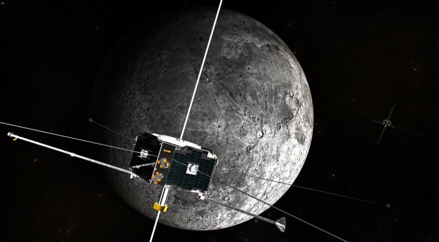
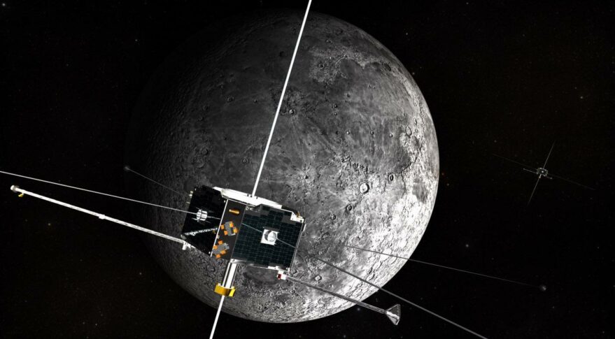
AFRL plans to launch an experimental surveillance satellite known as CHPS to lunar orbit in a few years. That mission “will help us figure out how to do space domain awareness from lunar orbit … and figure out how to conduct operations,” said Whiting.
“There are pockets of cislunar and xGEO excellence out there and we’re working with all of them to create a community of interest and then start to develop a picture of what is happening in lunar space,” he said.
The Space Force today is almost entirely focused on terrestrial operations, Whiting said, “but as commerce, as NASA as other countries start to go to the moon and beyond, we will have to pivot up and out for those orbital regimes.”
Whiting said NASA will be the military’s primary partner for xGEO surveillance. “As they execute their civil scientific mission, and we execute our national defense mission, there are areas of overlap where we can help each other.”
A 2020 agreement signed by the Space Force and NASA alludes to NASA’s plans to extend human presence beyond the International Space Station to the lunar surface and interplanetary destinations. It says the Space Force will seek to provide resources to protect U.S. interests so astronauts can operate “safely and securely on these distant frontiers.”
Air Force ‘Project Rocket’ focused on xGEO
During a presentation last week at the Air War College in Montgomery, Alabama, senior Air Force and Space Force officials were briefed on Project Rocket, an Air Force-funded experiment that looked at the challenges of tracking objects in space beyond Earth’s orbit.
The project was led by a group of officers selected for the Blue Horizons fellowship, created to help military leaders develop entrepreneurial skills and examine the impact of technology on national security.
“We pitched the idea of focusing on how do we provide a combatant commander the capability to track adversary activity in xGEO,” said Lt. Col. Phoenix Torrijos, an intelligence and foreign area officer who led Project Rocket.
The task for the 12 officers who worked on the project was to figure out how objects in xGEO could be located and tracked using existing sensors.
They started last summer, and over 10 months, with a budget of about $1 million, the team was able to identify and track China’s Chang’e 5 orbiter and QueQiao relay satellite – a communications relay and radio satellite used by China for the Chang’e 4 lunar far-side mission. They also tracked India’s Chandrayaan-1 and Chandrayaan-2 lunar exploration missions, several NASA missions and the James Webb Space Telescope. All these objects were tracked over the course of four weeks.
They used optical, passive radio frequency (RF) and radar assets from the U.S. military Space Surveillance Network — a collection of ground-based radar, telescopes and space-based sensors that track objects in Earth’s orbit — and telescopes operated by universities and private companies.
Maj. Jason Utulo, one of the members of the group, said the point was to try to be innovative with existing technology to look into xGEO rather than “wait for the next exquisite technological advances.” Another goal was to understand what skills and training the Space Force will need in the future in order to acquire xGEO space domain awareness. Utulo is a Rivet Joint reconnaissance aircraft navigator and is headed to U.S. Space Command for his next assignment.
The next phase of Project Rocket will be to transition the work to military space organizations responsible for actual operations, such as Space Delta 2, the 19th Space Defense Squadron and U.S. Space Command’s Joint Task Force Space Defense.
The plan is for military operators to continue to practice xGEO object tracking taking advantage of cislunar missions that NASA plans to launch, such as CAPSTONE and several others under the Artemis program, said Torrijos. “With their flight plans and mission profiles we’ll be able to stress our sensors to follow and track these mission sets throughout xGeo.”
Looking further ahead, the goal is to produce a “concept of employment for the combatant commander on how we can track objects in xGEO using capabilities that already exist,” she added. “We understand that more holistic solutions are in early stages of development, but until our acquisitions cycle catches up to our operational reality, Project Rocket intends to develop a ‘today’ solution for xGEO space domain awareness.”

