WASHINGTON — A U.S. Space Force infrared sensing demonstration satellite launched in July will soon start receiving data, the Space Systems Command announced Oct. 24.
“The Wide Field of View (WFOV) geosynchronous Earth orbit (GEO) demonstration satellite is set to receive ‘first light’ data from its sensor after calibration is completed,” the command said.
The WFOV is a mid-sized spacecraft made by Millennium Space with an infrared sensor payload developed by L3Harris under a 2016 contract from the U.S. Air Force. It launched in July on a United Launch Alliance Atlas 5 rocket.
The satellite will be able to continuously monitor large sectors of the Earth’s surface, said Col. Heather Bogstie, senior materiel leader for resilient missile warning and tracking at Space Systems Command. “This satellite has a new type of focal plane, a 4K by 4K focal plane that we have not used before,” she said. “This way we can see over 3,000 plus kilometers of the earth’s coverage at any one time, which is unprecedented.”
The infrared imagery, once analyzed, will help develop new missile-warning sensors that the Space Force will deploy in low and medium Earth orbits, said Bogstie.
“We’ll be able to collect a lot of information about current and emerging targets, threats, their signatures and profiles, and that information will be ready for future programs to leverage,” she said. “They’ll know exactly where to look and what they’re looking for.”
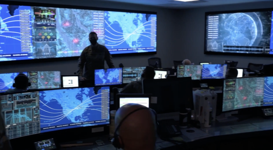
The data from WFOV will be analyzed at the Space Force’s TAP Lab, short for Tools Applications and Processors lab, in Boulder, Colorado.
Col. Brian Denaro, space sensing program executive officer at Space Systems Command, said his office plans to request industry bids for AI tools to analyze WFOV data.
“We’ll be seeking industry solutions for exploiting data from the recently launched WFOV demo for operational use,” he said last week at the Space Industry Days conference in Los Angeles. “That satellite is getting checked out now, we’ll be turning on the sensor very soon.”
He said the Tab Lab will serve as a “sandbox for you to bring your algorithms and your systems to practice with real data.”
The Space Force needs AI tools to handle massive amounts of data collected not just by WFOV but also by all its other infrared and environmental weather sensor satellites currently in orbit. Data analyzed at the Tap Lab is used for military operations, as well as to support firefighters and for meteorological services.