

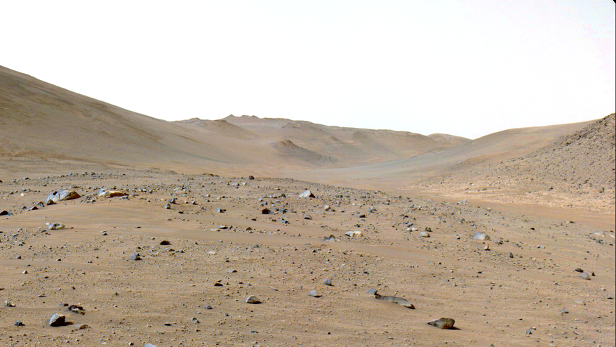
Since January, NASA’s Perseverance rover has been tracing the south side of Neretva Vallis, which is possibly the fossil of a river that once fed the rover’s landing site in Jezero Crater.
In the distance, Perseverance’s operators could see the glimmer of its next destination: Bright Angel, so named for the light-toned outcrops that may be ancient rocks uncovered by the previously running river.
But what had been a relatively smooth trip turned into a slog as Perseverance rolled into a field of unforeseen boulders. After days of slogging, the decision was made to reroute Perseverance across a dune field and through the river channel. It proved the correct decision: Now, Perseverance has reached Bright Angel’s landing at last.
“We had been eyeing the river channel just to the north as we went, hoping to find a section where the dunes were small and far enough apart for a rover to pass between,” said Evan Graser, an engineer who helps plan Perseverance’s route, in a statement. “Perseverance also needed an entrance ramp we could safely travel down. When the imagery showed both, we made a beeline for it.”
Related: Perseverance rover’s Mars rock sample may contain best evidence of possible ancient life

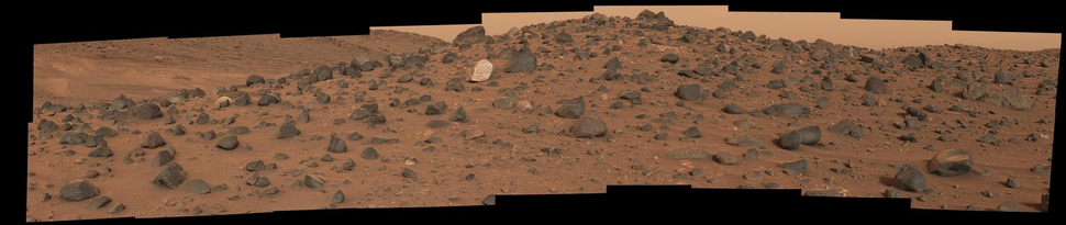
Perseverance relies on AutoNav, a system that allows the rover to navigate itself. Where earlier Mars rovers required total control from Earth, Perseverance’s guides can give it a general route, and AutoNav will handle the minute-to-minute steering. At first, AutoNav could circumnavigate the boulders in Perseverance’s path. But soon, the boulders became too large for the system to handle.
“What had been drives averaging over a hundred meters per Martian day went down to only tens of meters. It was frustrating” said Graser in the statement.
Just to the north of Perseverance’s course, a field of Martian dunes separated it from the river channel’s floor. If Perseverance could cross the dunes, it could leave the boulders behind. However, navigating through such dunes is risky, as the Martian sands have a way of trapping rovers — just ask Spirit, which got stuck in 2009. Fortunately, these dunes were small and spread out enough for Perseverance to chart a course through them.
Now in the river channel, Perseverance could cover some 200 meters (650 feet) per Martian day. The new course was fortunate for scientific reasons, too. In the midst of the channel Perseverance encountered the so-called Mount Washburn, a rocky hill that presented scientists with exciting geological opportunities. One of them was a curious rock that scientists speculate may be the product of a subsurface magma pool.
Then, after reaching a cliff near the north edge of the channel, Perseverance turned west.
Four Martian days later, the rover reached Bright Angel and began to analyze its rocks. This begs a question: Should Perseverance collect a rock sample here?