Maxar’s Satellite Imagery Captures Of Bucha, Ukraine, + Verification Of Mass Graves
Sat News
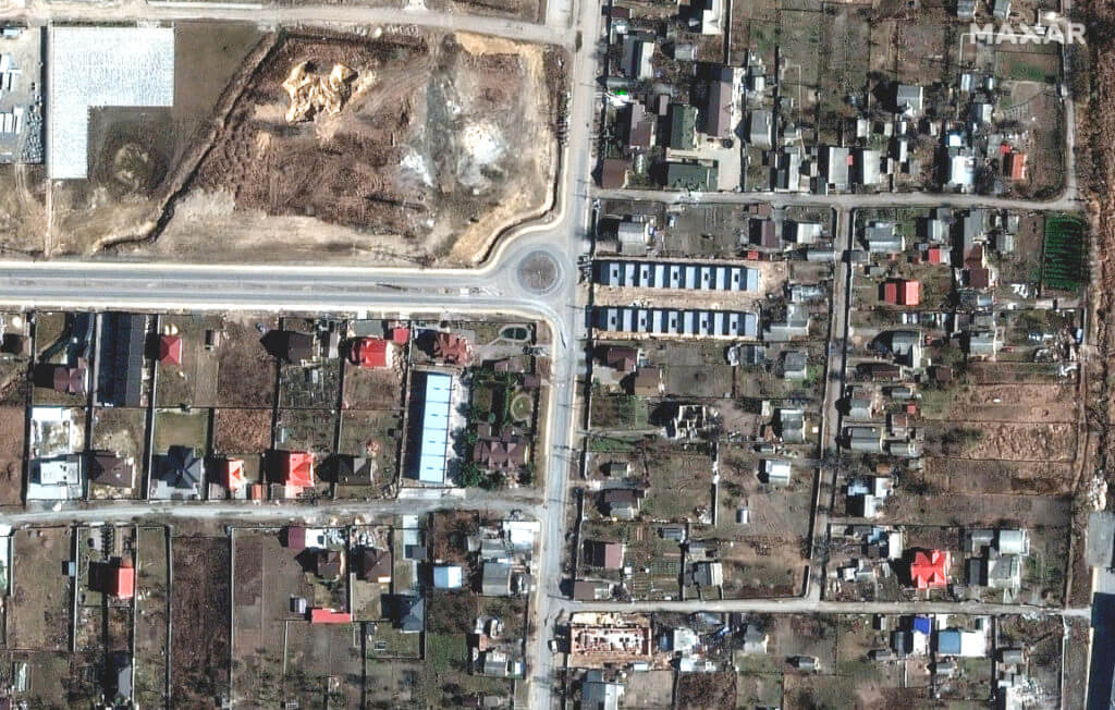
Images 1 thru 4: Time series of satellite images that focus on Yablonska Street (location: 50.541, 30.228) in Bucha. For Images 01-03, the image view correlates with the video path shown on social media, referenced above. Image 04 shows the same street, but simply rotates the view. This is image #1.
The battle continues, with Russia concentrating their forces to the east and south of Ukraine. High-resolution Maxar satellite imagery collected over Bucha, Ukraine (northwest of Kyiv), verifies and corroborates recent social media videos and photos that reveal bodies lying in the streets and left out in the open for weeks.
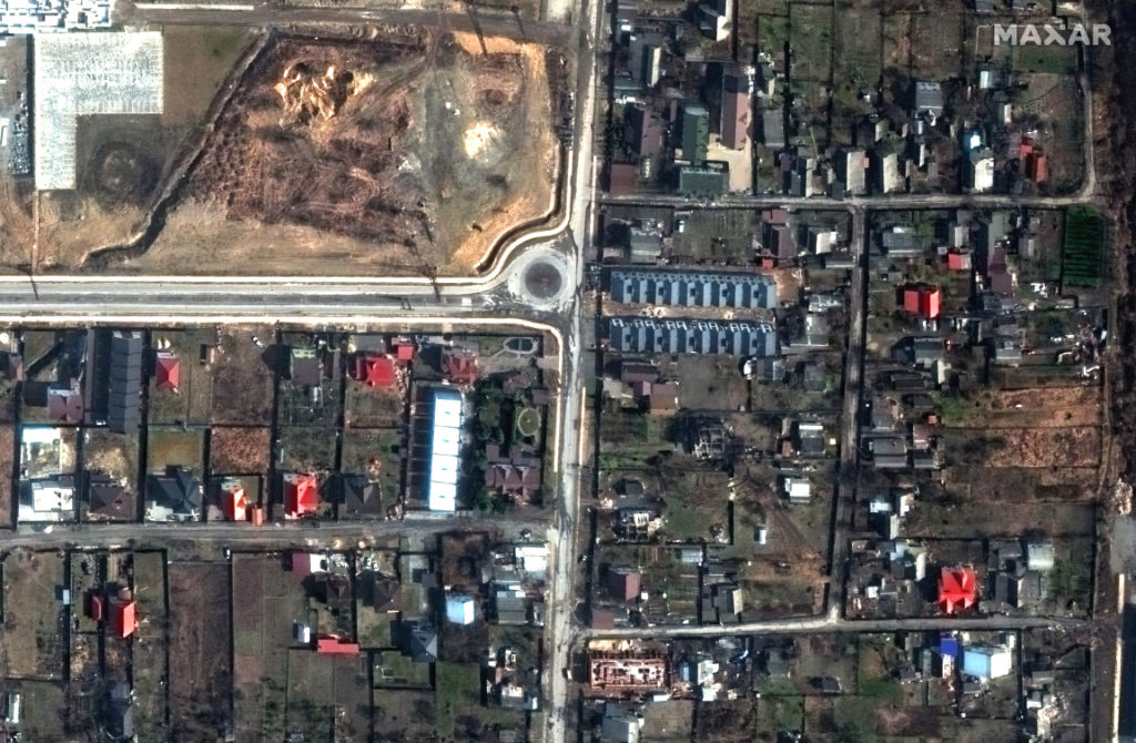
Image #2, Yablonska Street.
Image #3, Yablonska Street.
Image #4, Yablonska Street, rotated view.
Close to Yablonska Street, this image provides a view of the destroyed homes and armored vehicles along Vokzalna Street (location: 50.543, 30.227). Note, most of the building and vehicle damage occurred in late February, shortly after the invasion began.
For reference and context, please see this New York Times article that was published on April 4, 2022.
Additionally, Maxar satellite imagery verifies reports and photos that a mass grave has been established on the grounds of the Church of St. Andrew and Pyervozvannoho All Saints.
The following four images are a timed series of the grounds behind the Church of St. Andrew and Pyervozvannoho All Saints revealing the existence of a mass grave in Bucha (location: 50.548, 30.205).