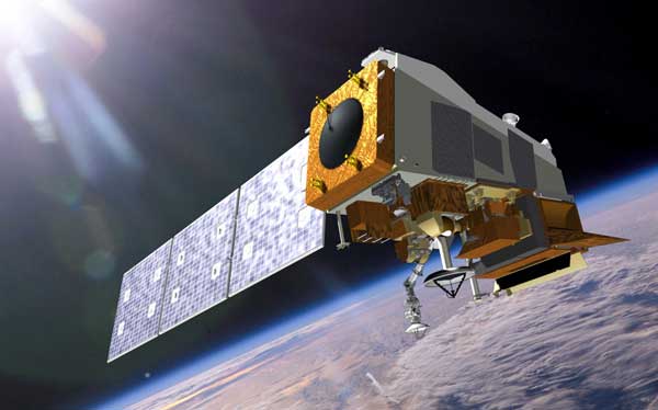
BEIJING (Luokung Technology Corp. PR) — Luokung Technology Corp. (NASDAQ: LKCO) (“Luokung” or the “Company”), a leading spatial-temporal intelligent big data services company and provider of interactive location-based services (“LBS”) and high-definition maps (“HD Maps”) in China, recently announced the launch of its remote sensing holographic spatial-temporal portfolio of products and services (the “Luokung Remote Sensing Offerings”) offered by its affiliate, Luokung Remote Sensing Co., Ltd., for natural resource monitoring and carbon sink accounting at the recently held Second Spatial Information Smart Application for High Quality Development in the New Era Summit (the “Summit”), hosted by the China Association of Remote Sensing Application.
Based on the multi-source heterogeneous spatial-temporal digital base, the Company has developed the Luokung Remote Sensing Offerings for natural resource monitoring and carbon sink accounting, which integrates spatial-temporal big data AI services such as satellite remote sensing, lidar, and Global Navigation Satellite System (“GNSS”). The Luokung Remote Sensing Offerings is supported by Luokung’s advanced real-time remote sensing data processing technologies and remote sensing data interpretation AI algorithms, with a key focus of the integration of lidar data. The portfolio of offerings includes applications such as real 3D natural resource spatial-temporal holograms, dynamic monitoring of natural ecological carbon sinks, forestry carbon sink remote sensing intelligent accounting and measurement, farmland protection remote sensing AI monitoring, crop growth and disaster monitoring, and more. We believe these new offerings provide a low-cost and high-accuracy system for monitoring ecological changes in terrestrial natural resources, carbon sinks, and carbon emissions, enabling organizations to make greater advances toward their sustainability goals.
Select products in the Luokung Remote Sensing Offerings have been successfully applied as pilot projects in Huangshan and Jixi, Anhui Province, in Jixian, Heilongjiang Province and in other county-level regions. The Company signed official business service contracts to provide long-term services in these regions at the Summit. Luokung’s Remote Sensing Offerings will be classified into county-, prefecture- and provincial-level specifications based on government jurisdictions. At present, the products have covered carbon sequestration, forestry, agriculture and other fields, and the Company expects to expand its capabilities to include carbon emissions, environmental protection, water conservancy, disaster emergency management and other industries in 2022.
Mr. Xuesong Song, Luokung’s Chairman and CEO, stated, “We are excited to announce the launch of the Luokung Remote Sensing Offerings, which we anticipate will help drive increased revenue growth in our software and services business from the carbon neutrality and natural resource management sectors. With more than 2,500 county-level administrations and more than 300 prefecture-level cities in China, Luokung is optimistic about this fast-growing, untapped market and our ability to serve a variety of related fields by providing superior natural resource management, carbon collection, and carbon emission measurement products and services, while establishing a domain-level spatial-temporal digital base for customers that supports a trading system for carbon neutrality, carbon peaking, and carbon emission.”
Mr. Song continued, “Luokung is committed to taking a leadership role in helping organizations achieve their sustainability and carbon neutrality goals. At the Summit, we also announced the joint establishment of the ‘Terrestrial Ecosystem Carbon Neutrality Joint Laboratory’ with the Institute of Forestry Ecological Environment and Protection, an institute managed by the Chinese Academy of Forestry Sciences, to support research, technology development and promotion of scientific and technological achievements related to the review and implementation of carbon sinks in mountains, rivers and forests. We expect to build on the momentum to integrate scientific research algorithm models with Luokung’s digital base and AI interpretation capabilities.”
About Luokung Technology Corp.
Luokung Technology Corp. is a leading spatial-temporal intelligent big data services company, as well as a leading provider of LBS and HD Maps for various industries in China. Backed by its proprietary technologies and expertise in HD Maps and multi-sourced intelligent spatial-temporal big data, Luokung established city-level and industry-level holographic spatial-temporal digital twin systems and actively serves industries including smart transportation (autonomous driving, smart highway and vehicle-road collaboration), natural resource asset management (carbon neutral and environmental protection remote sensing data service), and LBS smart industry applications (mobile Internet LBS, smart travel, smart logistics, new infrastructure, smart cities, emergency rescue, among others). The Company routinely provides important updates on its website: https://www.luokung.com.

