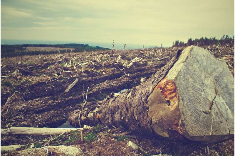
Remote sensing methods are transformative tools used to study deforestation, but they are by no means perfect. In the new paper “Remotely Incorrect? Accounting for Nonclassical Measurement Error in Satellite Data on Deforestation,” published in the Journal of the Association of Environmental and Resource Economists, authors Jennifer Alix-Garcia and Daniel L. Millimet discuss how errors in remote sensing deforestation data occur, the implications these errors may have for research using remotely sensed data, and how to account for the errors.
Deforestation presents critical ecological challenges, including habitat loss and mass extinction. To study and understand global land use, and the threats posed by diminishing forest cover, many researchers and stakeholders have turned to remote sensing data, assisted by the more than 2,000 satellites now orbiting Earth.
While these remote sensing methods provide advantages, such as the ability to cover the whole globe, “errors in remotely sensed measurements are likely present,” write “Remotely Incorrect” authors Alix-Garcia and Millimet. These errors can occur at many points in the process required to obtain usable data. For instance, the satellite-based optical sensors used to measure reflected energy have inherent technical limitations. Image pre-processing errors can arise from the correction of distorted natural features, and errors can also exist in the algorithms that ultimately translate reflectancies into usable numerical data.
To demonstrate examples of these misclassifications, the authors use two different sources of remote sensing data on forest cover in Mexico. The two sources capture the same location at a similar time, but the resulting data are derived from different pre-processing techniques. Differences between the two sources in the measurement of forest presence depend on the presence of extreme topographical attributes, like slope and elevation, as well as with sensor attributes.
With these findings, the authors suggest potential alternate estimators that can correct for such misclassifications. They apply their estimators to evaluate a different scenario in Mexico: a payment for ecosystem services (PES) program that compensates landowners for maintaining intact forest cover on their property, with monitoring done in part by remote sensing. Using data gathered between 2003 and 2015, the authors find that PES significantly slows the process of deforestation once misclassification is addressed.
In conclusion, the authors write that “researchers must engage in conversations across disciplinary boundaries to understand the construction of the data, and avoid the usage of naïve statistical models that fail to account for the nonclassical measurement error” in order to fully harness the potential of remotely sensed data on deforestation. Ultimately, “[r]esearchers ought to engage with remote sensing scientists to understand how the data are constructed and the nature of its limitations.”
The findings are published in the Journal of the Association of Environmental and Resource Economists.
More information:
Jennifer Alix-Garcia et al, Remotely Incorrect? Accounting for Nonclassical Measurement Error in Satellite Data on Deforestation, Journal of the Association of Environmental and Resource Economists (2022). DOI: 10.1086/723723
Provided by
University of Chicago
Evaluating measurement error in remote-sensing deforestation data (2023, July 13)
retrieved 27 September 2023
from https://phys.org/news/2023-07-error-remote-sensing-deforestation.html
part may be reproduced without the written permission. The content is provided for information purposes only.