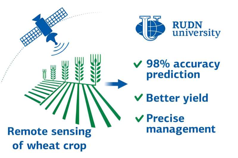
RUDN University ecologists found a parameter in satellite images that allows accurately calculating and increasing the wheat yield. Such technology helps agronomists monitor crops and make decisions. These results were published in The Egyptian Journal of Remote Sensing and Space Science.
Low crop yields are usually associated with disturbances in agro-climatic conditions, improper or untimely tillage, diseases, and pests. Laboratory analyses require a lot of time and equipment, and cannot provide a complete spatial picture. To solve the problem of yield instability we need new approaches. One of them is satellite monitoring.
Images obtained from satellites make it possible to assess crop growth rates over a large area at once and take timely measures to prevent a decrease in yield. RUDN University ecologists and colleagues from Algeria, Egypt, and Russia have determined an indicator that will help calculate the yield with almost 100% accuracy. They made an experiment using several varieties of winter wheat as an example.
“It is necessary to improve cultivation technologies taking into account varietal characteristics and soil and climatic conditions. We need to increase the potential of new varieties of winter wheat and solve problems of crop instability. That is why modern crop management technologies are important for agriculture,” said Dmitry Kucher, Ph.D., head of the Scientific Center for Research, Integrated Design and Development of Urban and Agriculture at RUDN University.
Over a year, ecologists observed the growth of wheat that was grown under three different soil, seed, and plant treatment regimes, from standard to high intensity. To do this, the authors used Sentinel-2 satellite images with a resolution of 10 to 60 meters. At the same time, RUDN University ecologists monitored the “ground” indicators of wheat: the crop yield and the grain quality. With satellite images in different ranges, they determined the wheat growth indicators—vegetation indices, which reflect vegetation density, photosynthesis activity, chlorophyll content, and others.
The results showed that the treatment method significantly affects all vegetation indices. The indices themselves correlate well (by no less than 83%) with the final indicator—the crop yield. The green chlorophyll index (CGI) turned out to be the most effective for predicting harvest volume—its correlation with yield was 98%.
“We have uncovered the potential of crop management using remote vegetation indices. The results show the advantages of remote sensing in terms of cost and monitoring area compared to traditional methods. Remote sensing reveals spatial variation in growth. This will improve cultivation and help achieve optimal production in terms of quantity and quality,” said Dmitry Kucher, Ph.D., head of the Scientific Center for Research, Integrated Design and Development of Urban and Agriculture at RUDN University.
More information:
N.Y. Rebouh et al, Towards improving the precision agriculture management of the wheat crop using remote sensing: A case study in Central Non-Black Earth region of Russia, The Egyptian Journal of Remote Sensing and Space Science (2023). DOI: 10.1016/j.ejrs.2023.06.007
Provided by
Russian Foundation for Basic Research
Ecologists use satellite images to predict wheat yield with 98% accuracy via satellite imagery (2023, September 27)
retrieved 27 September 2023
from https://phys.org/news/2023-09-ecologists-satellite-images-wheat-yield.html
part may be reproduced without the written permission. The content is provided for information purposes only.