China has released a highly detailed geologic atlas of the moon.
The atlas, which is available in Chinese and English, depicts the surface of the moon with a scale of 1:2.5 million. It highlights many intriguing geological features, such as impact craters.
“The first thing that catches our eye are those rings, which we call the ring structure. In fact, each of these rings represents an impact event. The small ring is called an impact crater,” Liu Jianzhong, a senior researcher at the Institute of Geochemistry, Chinese Academy of Sciences (IGCCAS), told China Central Television (CCTV).
“The big one right here is called an impact basin, which has a diameter of over 200 kilometers [125 miles],” Liu added. “Age groups are divided by colors. For example, the purple ones are the oldest impact craters.”
Related: China to land astronauts on the moon by 2030, lunar scientist says

Chinese scientists and cartographers began drawing the map in 2012. China has launched a series of lunar probes, including Chang’e 1 and Chang’e 2, which were orbiters charged with mapping the lunar surface.
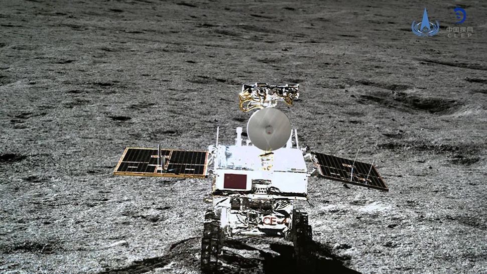
Further Chang’e missions have put landers and rovers on the near and far side of the moon (Chang’e 3 in 2013 and Chang’e 4 in 2019, respectively), while Chang’e 5 collected samples from the near side in 2020. China is preparing to launch its Chang’e 6 lunar far side sample return mission early in May.
Ouyang Ziyuan, a senior and well-known Chinese lunar scientist, said that the atlas provides insight into the moon’s history, its resource distribution and possible future exploration.
China plans to build a lunar base, known as the International Lunar Research Station (ILRS), in the 2030s. It aims to put its first astronauts on the moon before 2030.